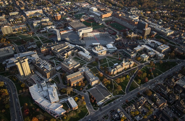
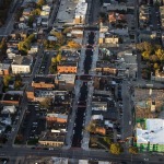
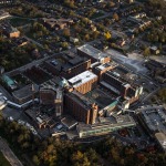
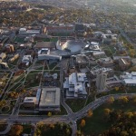
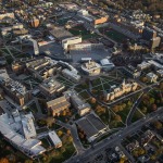
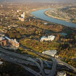
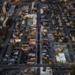
The first part of this two-part series proved to be very popular. While last week’s edition focused on aerial photographs of the center city, this week’s collection looks at neighborhoods just outside the city center.
As previously noted, Brian Spitzig is studying urban planning at the University of Cincinnati and is an occasional contributor to UrbanCincy. He recently took a flight over the city to capture these photographs.
We went through hundreds of photographs that he took and selected some of the best for you. The following 14 photographs capture views of the West End, Queensgate, Corryville, Mt. Auburn, Mt. Adams, Clifton Heights, Walnut Hills and University Heights.
If you like what you see here, you can follow Brian Spitzig on Instagram.
