Categories
Development News

Mt. Airy Looking to Transform Part of Colerain Avenue Into Walkable Business District

On October 30, Klosterman’s Dry Cleaners, in the heart of the Mt. Airy neighborhood business district, was torn down. Long seen as an eyesore, the demolition was heralded by community leaders hopeful that it would spark a revitalization movement along the quarter-mile stretch of Colerain Avenue.

The demolition project came as part of the City of Cincinnati’s most recent award-winning Neighborhood Enhancement Program where various departments work together to improve neighborhoods through blight removal and code enforcement. It was funded through a $55,000 grant from the Department of Trade & Development and acquired through the Hamilton County Land Reutilization Corporation.

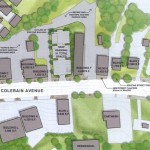
This is the first phase of a more comprehensive plan to redevelop the district that was put together by the Mt. Airy Community Urban Redevelopment Enterprise (C.U.R.E.), CR Architects, Urban Fast Forward thanks to a $30,000 grant from the City of Cincinnati. The Mt. Airy Revitalization Strategy was completed in March 2013 and provides a four-phase vision to enhance the business district.

The 20-page report concludes that buildings separated from the street by parking on the western side of Colerain Avenue have diminished the quality of the business district. The authors of the report also point to the prospects of implementing a form-based code for the area.

“Ideally new construction in Mt. Airy would apply the principles of a form-based code, at least in such matters as relationship of the building to the sidewalk and the placement of parking,” the report stated. “This will protect and build upon the existing good of the business district and help to give Mt. Airy a unique character as a neighborhood.”

Leadership at Mt. Airy C.U.R.E. says that the demolished dry cleaner will allow for the creation of a new centrally located parking lot in the business district that will also function as a gathering space for community events. The second phase of work, which community leaders hope can be completed by the end of 2015, will make streetscaping improvements and look to address existing storefronts.

“The existing conditions of the facades and storefronts are not that good,” Gerald Fortson, Senior Development Officer at Cincinnati’s Department of Trade & Development, told UrbanCincy. “Upgrading them will allow property owners to attract the caliber of tenants the district desires.”

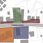
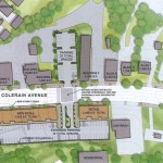
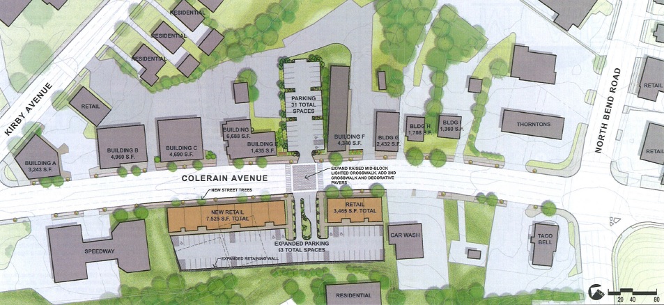
Phases three and four of the plan call for more aggressive action through the development of new structures along the western side of the street currently dominated by auto-oriented buildings.

As part of phase three work, a vacant lot and an existing 3,200-square-foot structure would be torn down and replaced by a new street-fronting 3,500-square foot retail building and a 24-space parking lot. Then, in phase four, two structures totaling 9,400 square feet of retail space would be razed to make way for a new 7,500-square-foot retail building that would also front onto Colerain Avenue. This part of the plan also calls for the creation of a new mid-block crossing for pedestrians.

“We hope to make this area a place that could encourage people to slow down and to see the business here,” explained Corless Roper, President of Mt. Airy C.U.R.E.

Over time neighborhood officials also hope to develop a wayfinding system and branding for one of the west side’s rare neighborhood business districts. If all goes according to plan, the whole revitalization program could be complete within five years.

“This is an exciting opportunity for Mt. Airy to rebrand and market itself in a new light, focusing on a safe and clean community that will draw our diverse neighborhood together, and eventually attract new businesses as we achieve the phases in our plan,” Roper stated. “Moving forward, we will creatively launch a campaign to raise funds in order to make our dream a reality, knowing that Mt. Airy is on the move!”
Categories
Development News

$11.2M Redevelopment of Historic Heberle School to Breathe New Life Into West End

A team of New York-based developers have purchased a number of properties in the West End, and a recent tax credit from the State of Ohio may spark the first major redevelopment investment in the historic district in decades.

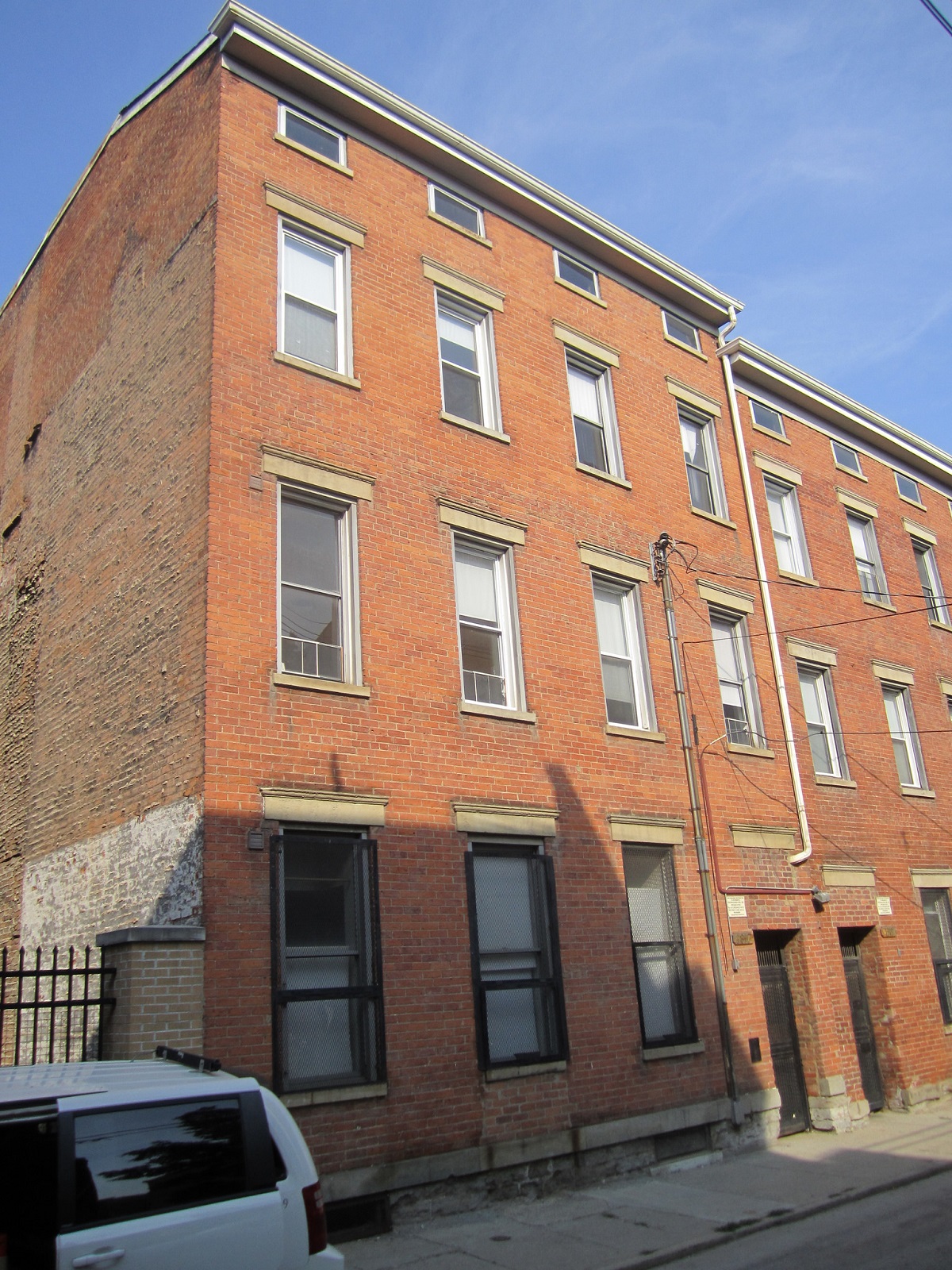
In 2012, Zada Development purchased two historic school buildings from Cincinnati Public Schools for $60,000 each at auction. The two schools sit within a block of one another in the Dayton Street Historic District, and have sat vacant for the better part of the last decade.

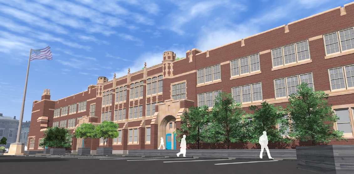
The development team told UrbanCincy that they intend to begin construction on the 86-year-old Heberle School in February, thanks to a $1.8 million Ohio Historic Preservation Tax Credit – the biggest award in the recent round of funding in Southwest Ohio aside from Music Hall’s $25 million catalytic project award. It is due to the neighborhood’s proud history that the developers decided to enter the Cincinnati market and take on their first project here.

“This area has been abandoned for some time, which prompted us to collaborate with the Dayton Street Neighborhood Association in order to revive a community rich in history and architecture,” explained Golan Marom from Zada Development Group.

The group’s previous experience is largely comprised of high-rise residential rehabilitations in the New York area.

The $11.2 million Heberle Lofts project, meanwhile, is seen as phase one of the team’s efforts. The second phase will focus on the 100-year-old Lafayette Bloom Middle School on Baymiller Street. There, developers anticipate a project similar in scope to what will be done at Heberle, which is planned to include 59 market-rate apartments and 5,000 to 6,000 square feet of street-level commercial space.

A striking similarity at both school properties is the large open space in front of their main entrances. In both cases, Marom says that the plan is to maintain some of it as parking for the development, while also creating new public and green space for the community.

While redevelopment has been moving northward from Over-the-Rhine’s Gateway Quarter, all the way up to the Brewery District surrounding Findlay Market, it has yet to spread west into the West End or its Brighton District. An injection of activity like this, however, could improve the neighborhood’s ability to support service retail and restaurants, which so far have proved difficult to attract within the Brighton District or along Linn Street at the nearby City West development.

The development team says they are still working to secure some additional financing, but are optimistic they will be able to get started in the coming months. Should everything go according to plan, the Heberle Lofts project is expected to be completed approximately two years after construction work begins.

Categories
Business Development News Transportation

A Look Back at the Top Stories on UrbanCincy in 2014

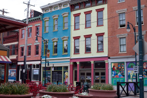
Findlay Market StorefrontsNow that 2014 has come to a close, we at UrbanCincy would like to take a moment to look back on what’s happened in the past year. The following are UrbanCincy‘s top five most popular news stories from 2014:
  1. Eli’s Barbeque, Maverick Chocolate First of Several New Tenants to Open at Findlay Market
    This year marked a turning point for the area known as the Northern Liberties in Over-the-Rhine, with several new developments being announced. The first of these announcements was in April, when craft chocolatier Maverick Chocolate and popular East End restaurant Eli’s Barbeque announced they would open at Findlay Market. Later in the year, Model Group announced a $14 million office development along Race Street and Urban Sites announced their plan to renovate the historic Film Center building.
  2. Uber and Lyft to Soon Enter Cincinnati Market
    In 2014, Cincinnatians gained a brand new transportation option as ridesharing services Uber and Lyft came to town. Our own Jake Mecklenborg began driving for Uber shortly after their launch and told us about his experiences on The UrbanCincy Podcast Episode #41. In November, Cincinnati City Council passed new regulations for carsharing providers, and we discussed this at the beginning of Episode #44.
  3. City Planners Recommend Transportation Overlay District for Wasson Railroad Corridor
    For years, UrbanCincy has been following the Wasson Way project and writing about the corridor’s potential usage as both a bike trail and a rail transportation corridor. The project took a step forward this year, as the Department of City Planning & Buildings announced a plan that would allow for both uses. We’ll be keeping our eye on this project in 2015.
  4. Popular St. Louis-Based Pi Pizzeria to Open Cincinnati Location in AT580 Building
    In collaboration with our partners at nextSTL, UrbanCincy reported on Pi Pizzeria’s entry into the Cincinnati market. The restaurant opened in the AT580 Building, which is currently undergoing a transformation from office space into residential. Pi co-owner Chris Sommers mentioned that the company was “amazed at the resurgence of Downtown and OTR” and chose the location based on its proximity to the Cincinnati Streetcar route.
  5. Findlay Market Ready to Work With Developers Poised to Transform Area Around It
    UrbanCincy talked to Joe Hansbauer, President and CEO of Findlay Market, about how Findlay Market can serve as the hub for new retail, office, and residential development in the Northern Liberties.

Ohio RiverOccasionally, we like to share a photo gallery or video taken by an UrbanCincy team member or a guest contributor. In 2014, our top five most popular visual features were:
  1. Take a Look at These 20 Breathtaking Photos of Cincinnati’s Center City
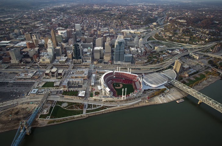
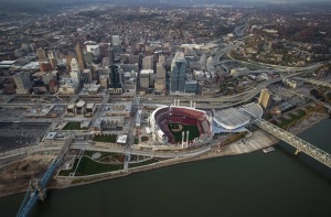
    Brian Spitzig shares some of his aerial photography from the Central Business District and Over-the-Rhine.
  2. Take a Look at CVG’s Abandoned Concourse C Through Ronny Salerno’s Lens
    Photographer Ronny Salerno documents the abandoned Concourse C at the Cincinnati-Northern Kentucky International Airport, which serves as a symbol of how far the airport has fallen.
  3. Check Out These 14 Amazing Images of Cincinnati’s Inner City Neighborhoods
    Enjoy more of Brian Spitzig’s aerial photography, this time from the West End, Queensgate, Corryville, Mt. Auburn, Mt. Adams, Clifton Heights, Walnut Hills, and University Heights.
  4. Thousands of New Residential Units to Transform Downtown
    Anyone visiting Downtown Cincinnati in 2014 was certainly aware of the huge amount of construction happening in the urban core. Looking back at this photo set shows how much progress has been made on Seven at Broadway, Mercer Commons, AT580, Broadway Square, and other projects in just a year.
  5. 49 Shots from the 2014 Northside Fourth of July Parade
    Jake Mecklenborg captures some interesting sights from Cincinnati’s most eclectic parade.


Categories
Development News

Over-the-Rhine Wins Big in Latest Round of Ohio Historic Tax Credits

The Ohio Development Services Agency divvied up its thirteenth round of historic tax credits yesterday. As has been the case in the past, Over-the-Rhine, one of the nation’s largest historic districts, was a big winner.

In addition to the mega tax credit awarded to Music Hall, five other projects in the neighborhood received tax credits through the program.

Urban Sites received two tax credits totaling $500,000 that will enable the Over-the-Rhine-based developer to restore three historic structures on Main Street and Clay Street; and create 23 apartments along with street-level retail.

Another project at 51 E. Clifton Avenue received a $147,000 tax credit that will go to help cover the costs of the $750,000 project, and ultimately create seven market-rate apartments in the 124-year-old structure.

Another big winner, in addition to Music Hall and Urban Sites, was Grandin Properties – a company that has taken an increasing interest in the neighborhood and even relocated their office to the Washington Park district in recent months.

Through the historic tax credit program, Grandin Properties will receive nearly $400,000 for their planned $1.5 million renovation of two 136-year-old buildings on Republic Street in between Thirteenth and Fourteenth. Once complete, developers say that the buildings will have 12 residential apartments.

“These projects transform vacant and underutilized properties into viable places for business and living,” said David Goodman, director of the Ohio Development Services Agency, in a prepared release. “This program has been a valuable tool for community revitalization.”

State officials say that the application deadline for the next round of the Ohio Historic Preservation Tax Credit Program is March 31, 2015, and that approved applicants will be announced at the end of June 2015.

Categories
Development News

UC’s Niehoff Urban Studio Takes Bold New Look at the Future of Burnet Woods

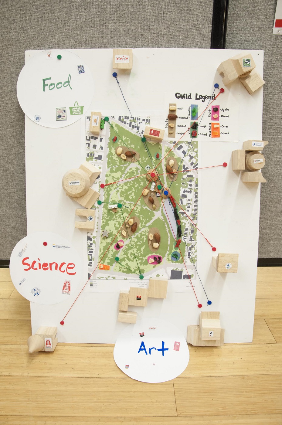
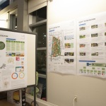
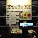
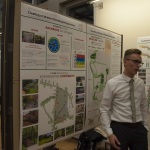
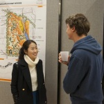
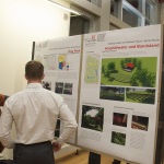
On December 4, the University of Cincinnati Niehoff Urban Studio hosted an end of the semester open house to showcase the final work of students in graduate planning, civil engineering capstone, and a multi-disciplinary freshman UC Forward seminar.

There were three classes offered at the Studio, located in Corryville, during the Fall Semester that focused on understanding and improving Burnet Woods. The aim, course leaders say, was to begin to produce a future vision for the 89-acre park.

City officials first began discussing an overhaul of Burnet Woods in 2007, but a lack of funding at the time doomed the project. However, Mayor John Cranley (D) made the project a priority in his inaugural State of the City Address, saying that the park, located immediately north of the University of Cincinnati’s main campus, could help make the uptown area an even greater destination.

“Burnet Woods is an underutilized gem in our parks system,” Cranley said in a statement. “It’s nice now, but it could be great.”

That caught the attention of UC President Santa Ono, along with the Uptown Consortium who requested that the studio work on the subject in consultation with community representatives and other stakeholders uptown. In addition, staff of the Cincinnati Park Board, who have sole control over what will happen with the park, have been engaged with the studio throughout the semester.

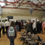
A large crowd showed up at the open house, held two weeks ago, to take a look at the visuals and learn about the observations and initial recommendations produced by the students for the roughly 142-year-old park.

After identifying various issues with Burnet Woods, as it stands today, the students proceeded to “rethink” the space and its uses. Nine teams of graduate Planning students organized their work around distinct thematic approaches to remaking the park. These themes included integrated Art Programming, a Health/Wellness destination, a food production system, a center for “fun” programming, and others.

Some of the many specific recommendations included creating seasonal programming, creating a soundscape as a placemaking tool, inserting a winding promenade to connect UC Main Street with the Ludlow Business District, elevating Martin Luther King Drive to allow for Burnet Woods to flow through underneath it into UC’s main campus, among others.

Some of the student teams extended the scope beyond the park by suggesting a cohesive streetscape experience extending from Burnet Woods and re-imagining the park as the center of an Uptown “eco-district” to create a broader ecological and social system.

One of the benefits of the studio course offerings came from engaging both planning and engineering students. As part of the course’s focus on building healthy and resilient places, civil engineering students proposed a number of green infrastructure ideas to help with stormwater runoff and combined sewer overflows, and other technical projects.

Additionally, according to Frank Russell, Director of the Niehoff Studio and Community Design Center, the multi-disciplinary UC Forward freshman seminar was able to survey the student body to determine its interest in the park and ended up proposing a student organization dedicated to providing advocacy and service to the park.

Russell says that this is only the beginning, with additional courses in Planning, Architectural Engineering, Civil Engineering, and Horticulture to come in the Spring Semester that will build on the ideas and research completed thus far. The hope, he says, is to create a well-grounded set of ideas that will make up the contents of an ‘idea book’ for use by the community in considering the future of Burnet Woods.

Other faculty involved in the Fall Semester included Vikas Mehta and Danilo Palazzo from the School of Planning; Richard Miller and Elizabeth Devendorf from the Civil Engineering Program; and Cory Christopher from UC Forward. Those interested in viewing the student work in detail may do so by appointment at the UC Niehoff Urban Studio, located at 2728 Vine Street, by emailing design.center@uc.edu.