Categories
Development News

Uptown Leaders Hoping $2.4M Northern Townhomes Project Accelerates Avondale’s Rebirth

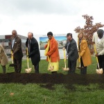
Earlier this month community leaders and City officials gathered in Avondale to celebrate the groundbreaking for eight new market-rate townhomes in the long beleaguered Uptown neighborhood.

The Northern Townhomes project, named after the street on which it is located, is just the latest evidence of a startling transformation that has taken place along the Burnet Avenue corridor over recent years, which has included the construction new office mid-rises, street-level retail and renovation of historic buildings to accommodate new residences.

Much of this transformation has been spurred by the continued growth of Cincinnati Children’s Hospital Medical Center, which has added thousands of jobs since 2000. But that jobs growth, however, has not yet translated into an improved housing market in the impoverished neighborhood. Community leaders are hoping that Northern Townhomes will be the first of many more projects that will work toward improving just that.

“Any community developer knows that the key to smart growth is home ownership,” stated Ozie Davis, Executive Director at Avondale Comprehensive Development Corporation, in a prepared release.

Avondale currently has one of the lowest home ownership rates in the city at just 33%. According to the U.S. Census Bureau, the City of Cincinnati and State of Ohio, respectively, have home ownership rates of 40.5% and 68%.

The realization of this development has taken years, following a community-developed master plan for the area years ago. Correspondingly, the funding for the $2.4 million project also came from a diverse coalition of neighborhood stakeholders including the University of Cincinnati, UC Health, Cincinnati Children’s Hospital Medical Center, Cincinnati Zoo & Botanical Garden and TriHealth.

“The potential for the strong neighborhood revitalization like ours comes from good visioning, smart planning and patience, and this Northern Townhomes project proves that Avondale, Uptown Consortium and the Uptown institutional members have all three,” Davis emphasized.

Project officials say that each of the eight townhomes is approximately 1,400 square feet. Six are two-bedroom residences, while the remaining two have three bedrooms. Additionally, each home has a one-car garage and what the developers are calling tandem on-street parking.

As of now, the expected price point for each townhome is starting at $175,000, and may qualify for a 15-year LEED tax abatement should the developers successfully achieve LEED for Homes Silver certification.

If all goes according to plan, project construction is expected to be completed by fall 2015. After that project officials say that there is room for a second phase of another eight townhomes. The corner of Northern Avenue and Burnet Avenue, meanwhile, is being reserves for another commercial development.

“Avondale is key to the spirit of Uptown Cincinnati, and Avondale community leaders have been a great collaborator and convener as we have work together to revitalize the Burnet Avenue corridor,” concluded Beth Robinson, President and CEO of the Uptown Consortium. “Market rate housing is a fundamental anchor to a diverse residential neighborhood, and we are delighted to have this project be a significant milestone in the Burnet Avenue revitalization.”

Additional residential and mixed-use components remain to be realized as part of the Burnet Avenue corridor master plan, and no timeline has been identified for those elements as of yet.

Categories
Arts & Entertainment News

Check Out These 14 Amazing Images of Cincinnati’s Inner City Neighborhoods

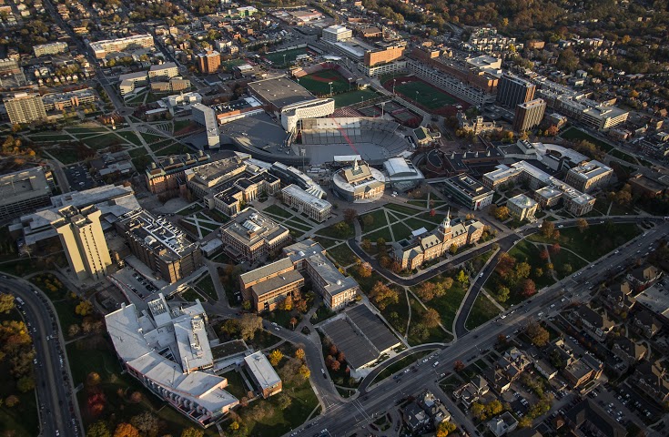
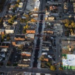
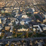
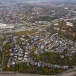
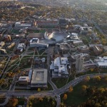
The first part of this two-part series proved to be very popular. While last week’s edition focused on aerial photographs of the center city, this week’s collection looks at neighborhoods just outside the city center.

As previously noted, Brian Spitzig is studying urban planning at the University of Cincinnati and is an occasional contributor to UrbanCincy. He recently took a flight over the city to capture these photographs.

We went through hundreds of photographs that he took and selected some of the best for you. The following 14 photographs capture views of the West End, Queensgate, Corryville, Mt. Auburn, Mt. Adams, Clifton Heights, Walnut Hills and University Heights.

If you like what you see here, you can follow Brian Spitzig on Instagram.

Categories
News Transportation

All Aboard Ohio Meeting to Provide Update on Cincinnati to Chicago Train Service

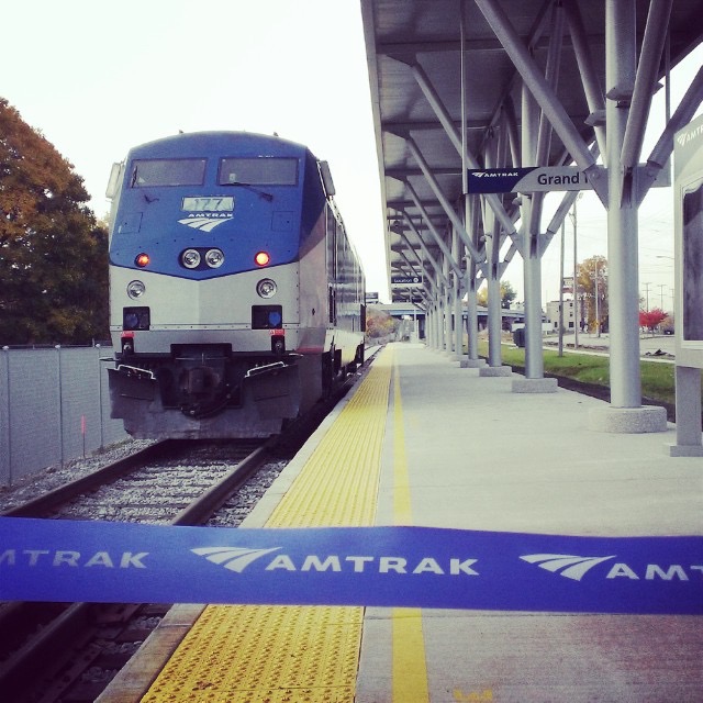
Amtrak TrainAll Aboard Ohio will be holding their quarterly Southwest Ohio meeting in Over-the-Rhine next week at the Moerlein Tap Room.

Organizers say that they will be updating members, and all in attendance, on the progress of recent activities to develop daily train service from Cincinnati to Chicago, by the way of Indianapolis. The effort is perhaps one of the nonprofit organization’s biggest efforts since the 3C Corridor was notoriously cancelled by Ohio Governor John Kasich (R).

What seems to be different about this effort, however, is the fact that there is bipartisan support from the onset, including a rare unanimous vote from Hamilton County Commissioners supporting the study of such daily service.

Another early advocate has been Cincinnati City Council Transportation Committee Chairwoman Amy Murray (R), who will also be the special guest at All Aboard Ohio’s meeting on Tuesday.

Derek Bauman, SW Ohio Director for All Aboard Ohio, also says that they will update everyone on the construction progress for the Cincinnati Streetcar.

It is all part of an effort, Bauman says, to get more people involved in the process, and engaged on these important issues.

“Since being elected to the board back in May, I’ve spent the summer and fall building advocacy for daily service from Cincinnati to Indianapolis and Chicago,” Bauman explained. “We have made some great progress, yet have a long way to go.”

Some of the other success, he says, can be seen in the 60 new All Aboard Ohio members from the Cincinnati area that have joined in recent months. It is a number he is pleased with, but hopes will grow even more. As a result, the meeting at Moerlein Tap Room will be open to anyone who wants to attend.

All Aboard Ohio’s SW Ohio quarterly meeting is free and open to the public, and will take place at 6pm on Tuesday, November 18 at the Moerlein Tap Room in Over-the-Rhine’s Northern Liberties district. The location is well-served by Metro bus service and has free bike parking readily available. There are also two Cincy Red Bike stations located within two blocks of the venue.

Categories
Development News

Green Man Park to Transform Formerly Vacant Lot in Peeble’s Corner

If all goes according to plan, and Mother Nature plays nice this winter, Walnut Hills may have a brand new park in spring of 2015.

An empty lot at the corner of Stanton and McMillan (almost across from the new Fireside Pizza) is in the process of being turned into Green Man Park. Fred Orth, Walnut Hills Area Council member and neighborhood supporter extraordinaire, is spearheading the effort to not only make the lot into a public green space, but also to install a seven-foot tall sculpted stone “green man” for which the park is named.

The enormous sculpture was carved by David Hummel in 1890 for a Walnut Hills building, and ultimately watched over the area until that building was demolished in 1991. Prior to the demolition, the sculpture was rescued by a concerned citizen and has been sitting in pieces in the East End ever since.

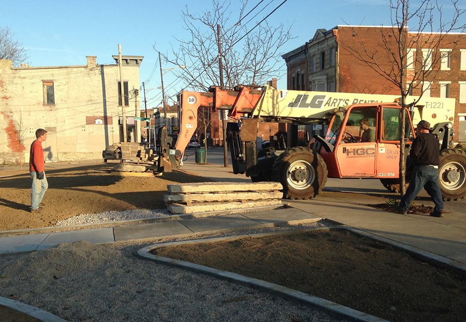
Then, last weekend, neighborhood volunteers helped lay pavers for the new paths in the park. They used materials donated by the City of Cincinnati and equipment provided by HGC Construction. With a bit more work the park will contain several more trees, areas for seating, possibly a small performance spot, and one very large Green Man.

An ancient symbol of rebirth and the rejuvenation of spring, the Green Man seems an appropriate symbol for Walnut Hills’ fast-improving business district. Hopefully the sculpture will be there to witness another 100 years in the life of this great neighborhood.

Those who wish the support the community’s efforts to build out the rest of the park, which was previously a vacant lot, can do so by donating through the Greater Cincinnati Foundation.

Categories
News Transportation

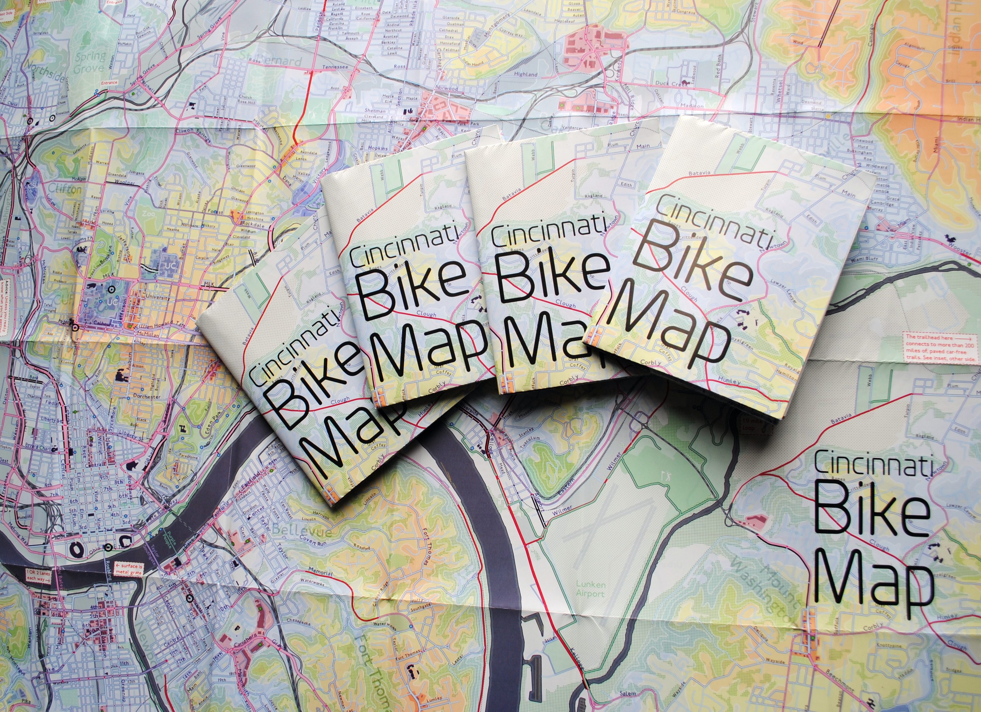
New Cincinnati Bike Map Aims to Change the Way New, Old Cyclists View the City

In 2011 Nate Wessel sought out to change the way Cincinnati mapped its transit. In a region with multiple transit operators that all use traditional bus mapping visuals, it was quite the daunting task. But after successfully raising more than $2,000 on Kickstarter, Wessel was able to fund his effort to print tens of thousands of his newly designed maps that ultimately received national praise.

Since that time he has continued his quest to improve the visual nature of map-making in Cincinnati, including serving as UrbanCincy’s official contributing cartographer, but he also embarked on another major endeavor. Instead of a transit map with bus frequencies, Wessel this time focused his energies on creating a new regional bike network map.

“Imagine someone kept taking, and reproducing and sharing, very unflattering photos of you or someone you loved. If you’re like me, you’d probably let the first one slide,” Wessel stated. “Maybe it was an accident, but by the fifth or sixth one, you’d start noticing a pattern and you’d start getting kind of miffed about it.”

This is the feeling the twenty-something urban planner, cartographer and fashion designer felt about the region’s existing bike maps, and he wanted to take control of the situation and improve it.

“This is a subtle visual game and words won’t do,” Wessel explained. “You need to make your own photo that shows the beauty you see in what you love; and then get other people to see what you see.”

One of the ways to accomplish that, he says, is to get the maps into people’s hands – digital maps are not enough. While the physical presence of a printed map gives it a sense of permanency and seriousness, producing a hard copy map also comes with its challenges.

After finishing the design for the Cincinnati Bike Map, Wessel said that he received feedback from the binder recommending a redesign to better accommodate the way the paper would fold, but that it was too late in the process. As a result, he wishes the maps folded a bit better, but that he is otherwise quite pleased with the final product. Perhaps leading to that feeling of satisfaction, however, is the fact that no compromise was needed since the project was entirely self-funded.

“Both times I’ve raised money for these projects it was in advance of having a real demonstrable product,” said Wessel. “In neither project have I ever had to check anything with a sponsor, supervisor or co-designer. The maps were totally my own in both cases, held to my own standards alone and uncompromised. That is very unusual for print maps.”

While quite unusual, it was a situation he preferred. In fact, Wessel says that a local organization very generously offered to fully fund the printing of Cincinnati Bike Map should he work with their graphic designer. A generous offer indeed, but one that came with risks that the final product not turn out as originally envisioned.

The release of the new regional bike map last month comes at a time when Cincinnati is in the national spotlight for its dramatic gains in bike ridership and development of new bike infrastructure.

Now that the project is complete, the goal now shifts to distributing the stack of Cincinnati Bike Maps that now exist. In addition to distributing the maps to local bike shops and organizations, Wessel is also mailing out copies of the map. His hope is that new or unfamiliar riders feel empowered by the maps, and that experienced riders use them to explore new routes throughout the region.

“Regular cyclists have found their favorite routes and will probably stick with what they know,” said Wessel. “Though, I totally discovered Fort Thomas through this map. Every map I’d seen made it look like a pretty crappy, suburban place to ride and I always avoided it; but the streets are beautifully wooded and very slow with 25mph speed limits.

Of course, all of this would not have been possible without access to the treasure trove of data on-hand at Cincinnati City Hall, and with the OKI Regional Council of Governments.

Those who would like to get a free copy of the Cincinnati Bike Map can do so by emailing Nate Wessel at bike756@gmail.com and informing him of your name, how many copies you want, and the address to which he can ship them.