Categories
News Transportation

Parking Guru Donald Shoup to Speak at Mercantile Library Next Tuesday

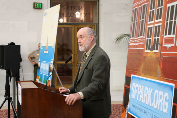
Donald Shoup, world renowned economist and researcher, will be speaking at the Mercantile Library on October 28.

For those unfamiliar with his work, he is a forerunner in examining the effects of parking policy on urban economics, which he presented in his 2005 book The High Cost of Free Parking. The book was preceded by an article of the same name, which Shoup wrote in 1997.

Mandated parking requirements, it seemed, was an issue that many planners felt ill-equipped to tackle. It had not been lectured on in their classes, and textbooks were often silent on the matter. And according to the American Planning Association, planners requested information on this topic more than any other.

Mandated minimum parking requirements have been a zoning code staple since the widespread adoption of the automobile. For example, a zoning code may require that apartment buildings supply one parking space per unit, or that a restaurant provide one parking space for every 300 square feet of space used by patrons. While parking minimums are typically set by the use of a property, they vary based on what kind of zoning district the property is found in – for example, a low density, auto-oriented district will require more spaces than a dense area that is more walkable.

As planners wrote their zoning codes, they had few tools at their disposal to discern where they should set their parking minimums, which led to the common practice of borrowing numbers used by other cities that often did not account for local conditions. And as Shoup found, even if planners could observe capacities and usage for, say an office building, not every office building was created equal. An office building that allowed employees their own offices instead of cubicles would have fewer employees per square foot and therefore should conversely be assigned a lower parking spot minimum.

And since minimums were based on the maximum capacity for a particular use, an additional quandary arose from requiring parking that would very certainly sit unused most of the time.

Upon examination of the issue, the numbers used to set minimum parking requirements were considered arbitrary – a best guess, and applied with broad brushstrokes. Therefore, Shoup set out to examine where and how the cost of this imposition on property development was being absorbed.

Analyses were able to estimate how much development costs increase due to parking minimums, and the results bred a new understanding of how parking requirements can increase the cost of real estate, particularly in urban areas. A portion of these costs are presumably passed on to tenants and patrons, regardless of whether they own a car and utilize a parking space.

When applied to denser historic districts built before the automobile, lots frequently are not large enough to provide the amount of spaces that a zoning code may require for parking. The result is a tangible barrier to redevelopment, revitalization and the adaptive reuse of buildings.

Brian Bertha, a researcher in California, analyzed project costs before and after the establishment of parking minimums in 1961 in Oakland. He found that after the requirements were put in place, construction costs per dwelling unit increased 18%, housing density fell by 30%, and land values decreased by 33%.

In Shoup’s research he speculates that if “emancipated from minimum parking requirements, land and capital will shift from parking to uses that employ more workers and pay more taxes.”

Instead he advocates making parking a pay-per use amenity, and thus encourage greater use of public and active transportation. Furthermore, he believes that revenues generated from on-street parking be utilized within neighborhood improvement districts in order to provide more amenities in those districts.

Just as we are taught in economics class that “there’s no such thing as a free lunch,” Shoup uses his skill for economic analysis to illustrate that there’s no such thing as a free parking space.

Driving is still necessary for ease of accessing employment in most American cities, but Shoup’s analysis allows policy makers to think critically about the interconnectedness of these policies, and the role that a thoughtful approach can play in reducing congestion, decreasing auto-dependence, and removing barriers to investment.

If you would like to attend Dr. Shoup’s lecture, he will be speaking downtown at 6pm at the Mercantile Library at 414 Walnut Street. Tickets can be purchased online for $10 for members and $15 for non-members.
Categories
News Transportation

Metro to Begin Selling One-Day Passes in November, Regional Fare Cards Next

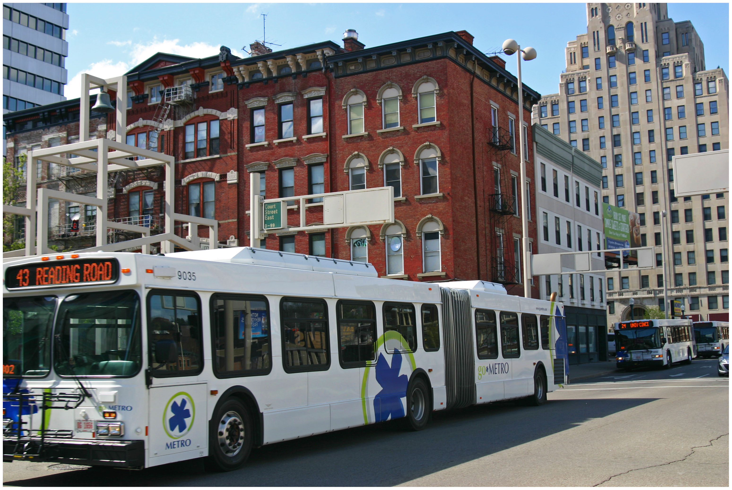
The Southwest Ohio Regional Transit Authority (SORTA) will begin selling new day passes for Metro bus service on Sunday, November 2.

The new one-day, unlimited ride passes are part of Metro’s ongoing fare payment overhaul that began back in 2011 with the introduction of new electronic fare boxes.

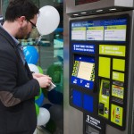
The new day passes will be able to be purchased directly on any Metro bus as you board. Jill Dunne, Public Affairs Manager at Metro, says that all the purchaser will need to do is notify the driver before paying their fares. The pass is then activated upon its first use and will be valid for unlimited rides until 3am the next day.

The passes cost $4.50 for Zone 1, which is anything within city limits, and $6.30 for Zone 2. A pass purchased for either zone accounts for all necessary transfer fees.

Since these day passes will be ideal for visitors, you can also purchase them in advance at the sales office on Government Square. The passes can then be distributed to friends or family members and used at their convenience, only being activated upon their first use.

“Riders have been asking for day passes for several years,” Dunne explained to UrbanCincy. “They are great for visitors, occasional riders and anyone who plans to ride Metro frequently throughout the day without worrying about exact change or transfers.”

In many cities around the world, however, the idea of buying day or month passes is a thing of the past thanks to the advent of smart card payment technology. If Metro were to switch over to a system like this, which their new electronic fare boxes are capable of handling, it would allow for riders to use enabled bank cards or loadable fare cards.

“We are looking at all options for fares to make it convenient for our riders,” Dunne emphasized. “We have been working on ‘smart cards’ for a while and I hope we’d be able to roll them out in the future.”

Another new feature riders can soon expect, and has been rumored for some time, is a regional stored-value card that works on transit services offered by Metro and the Transit Authority of Northern Kentucky (TANK). Metro officials say they are optimistic that will be available within the next few months.

Those interested in getting their hands on the new day passes can do so by attending a ceremony Metro will hold at Government Square on Monday, November 3 at 10am. To celebrate the moment, Metro employees and SORTA board members will be giving out 500 free day passes on a first-come, first-serve basis.

Categories
News Transportation

City Planners Recommend Transportation Overlay District for Wasson Railroad Corridor

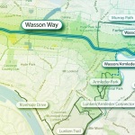
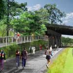
Following the guidance of City Council, Cincinnati’s Department of City Planning & Buildings has completed its land use study for the Wasson Railroad Corridor. The study’s findings and recommendations offer the clearest guidance to-date as to how to proceed with redeveloping the abandoned freight rail corridor, following the issuance of preliminary designs in July 2014.

City planners took a comprehensive look at the history of the corridor, its current conditions and the best path forward that respects the desires of the city and the impacted neighborhoods.

In that analysis City staff revealed seven studies and plans that recommend the corridor either be used for rail transit, or a combined multi-modal network that accommodates rail transit, bicycles and pedestrians. Some of the most notable of these include the 2002 MetroMoves regional transit plan, 2010 Bicycle Transportation Plan, 2012 comprehensive Plan Cincinnati, and the 2013 Railroad Safety Improvement Plan – all of which either specifically call for the corridor to be used for rail transit, or a multi-modal corridor.

The history is important as it influenced the study’s recommendation as to how to proceed with acquiring and preserving the corridor. As of now, the 5.7-mile Wasson Railroad Corridor is still owned by Norfolk Southern, but the City of Cincinnati has stated that they are in the process of acquiring the property from them.

“With this corridor being so crucial to the future development of multi-modal transportation in the City, the threat of potential development within the railroad right-of-way would significantly slow down, if not completely hinder, those possible public transportation opportunities from occurring,” city planners wrote in the 32-page land use study released earlier this month.

Of course, this fact has been known by policy makers at City Hall for years. As a result, City Council has, on several occasions, approved interim development controls to protect the corridor from being built upon. These controls, however, are just temporary and city officials must now decide how they would like to move forward.

In the study city planners examined the pros and cons of three potential options for accomplishing this.

The first option examined the idea of rezoning the property to a Parks and Recreation classification. This would offer the corridor significant protections, but it would also severely restrict the City from being able to implement rail transit in the future due to federal regulations that prohibit the use of public parks or wildlife refuges for transit corridors.

A second option studied looked at simply dedicating the land as City right-of-way. This too would offer significant protections, but is not possible until the City acquires the land from Norfolk Southern.

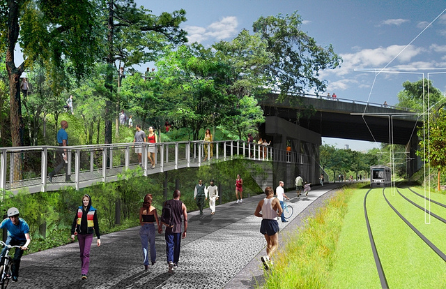
The third option, and the one recommended by city staff, is enacting a Transportation Overlay District over the corridor. While planners admit that crafting the language for such legislation may be complicated, they also stated that it would be most aligned with the preferences of neighborhood residents and publicly adopted planning documents.

In order to address the complexity of the legislation required for such an overlay district, city planners recommended looking at the Atlanta BeltLine Overlay District that was implemented to protect a 22-mile abandoned freight rail corridor. In Atlanta civic leaders are currently in the process of converting the corridor into a similarly envisioned multi-modal network with rail transit, bikeways, parks and pedestrian paths.

“While all options present advantages and disadvantages, the Transportation Overlay District is seen as the best solution for preservation of the Wasson Railroad Corridor,” city planners wrote. “This tool, while it may take a bit longer to craft the ordinance language, will provide more flexibility and also protect the contiguous nature of the corridor.”

City officials say that this solution will allow for the development of the Wasson Way Trail to move forward in the near term, while affirming the City’s intentions to develop the corridor as a multi-modal transportation facility that includes rail transit in the future.

The solution crafted by the Department of City Planning & Buildings appears to be a perfect compromise between the two constituencies looking to use the corridor. Bicycle advocacy groups can see the right-of-way acquired and preserved so that they can move forward with their plans for a bike and pedestrian trail, while transit advocates can rest assure that those immediate efforts are not being done in conflict with ongoing planning and design work for a future light rail line.

With the Wasson Railroad Corridor Land Use Study now complete, it will go before the city’s Planning Commission. Should it be approved by Planning Commission, it will then go back to city staffers so that draft overlay district language can be crafted and recommended to City Council. From there, it would go before City Council for approval.

It is a standard process and one that advocates hope can be completed in the coming months.

Categories
News Transportation

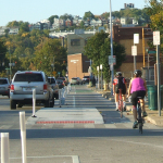
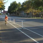
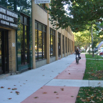
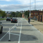
PHOTOS: Ohio’s First Protected Bike Lane Attracting New Riders to Central Parkway

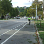
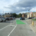
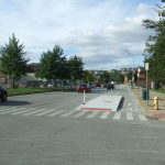
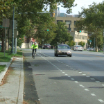
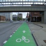
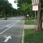
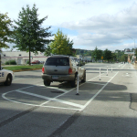
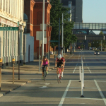
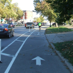
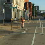
As bicycling continues to grow in popularity in Cincinnati, the city has built out more and more bike infrastructure. These new accommodations, including the new protected bike lanes on Central Parkway, are making it safer for bicyclists and are attracting more riders.
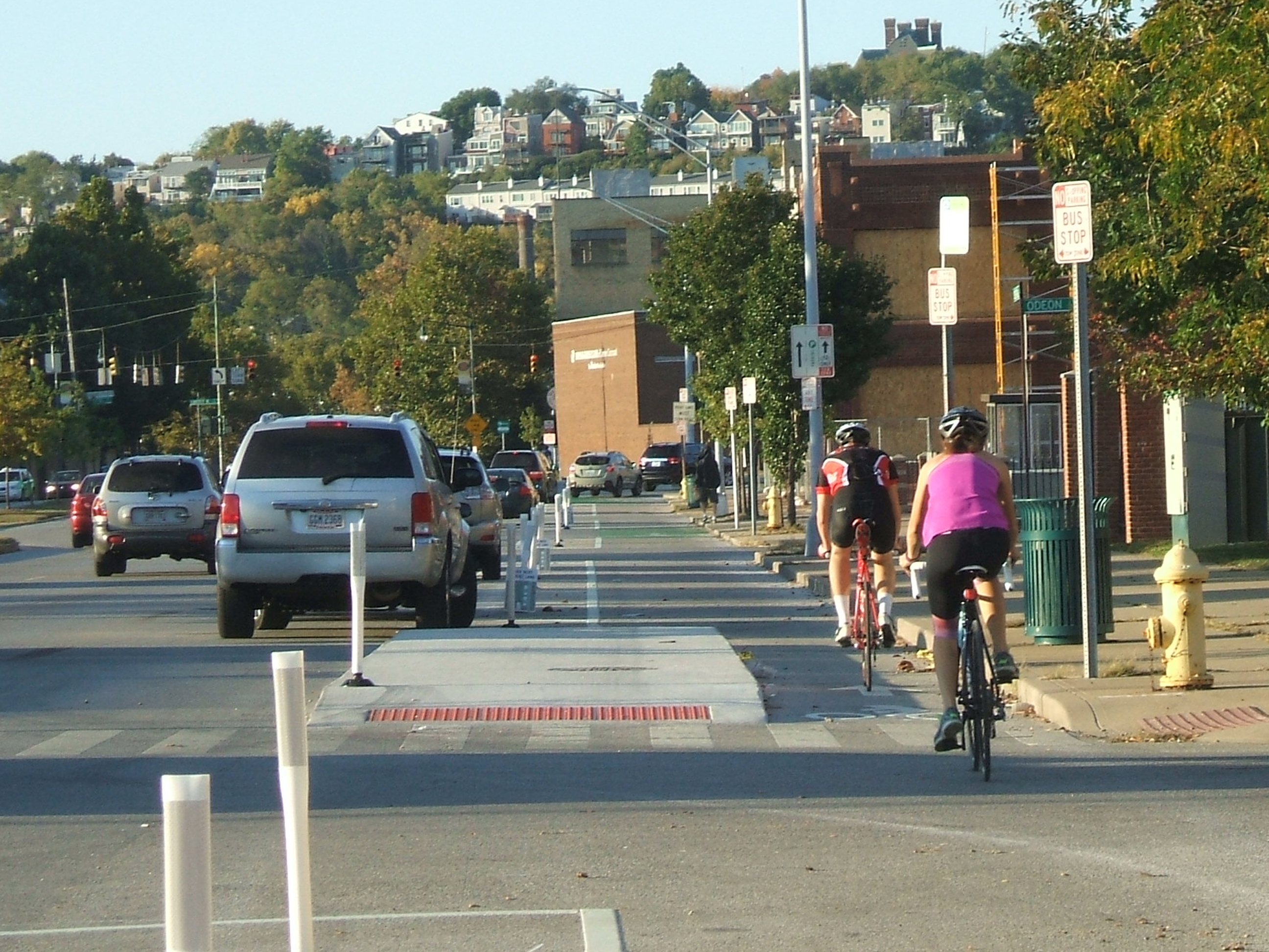
The Central Parkway Cycle Track provides a new protected, on-street route for bike travel between downtown and neighborhoods to the north, including Northside, Camp Washington and Clifton.

City transportation planners say that there has been apprehension for many cyclists to ride in high volumes of speedy traffic. This is particularly true for Central Parkway, which officials say was often avoided by many due to the intimidating nature of the street’s design that favored fast-moving automobiles. Since the opening of the Central Parkway Cycle Track, however, city officials say that there has been a substantial increased in bike traffic there.
Bike advocacy groups consider the project to be the first of its kind in Ohio. It stretches approximately about two miles from Elm Street at the edge of downtown to Marshall Avenue in Camp Washington.

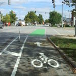
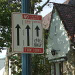
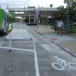
The protected lanes differ from other bike lanes recently built in other locations around the city in that they are separated from moving traffic by a painted median several feet wide. To further delineate the two modes of traffic, the median also includes flexible plastic bollards spaced about 15 to 20 feet apart. This separation then pushes on-street parking out away from the curb.

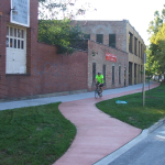
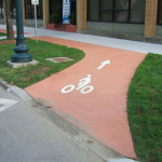
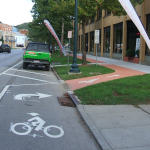
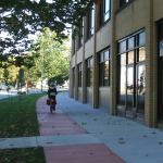
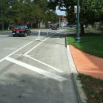
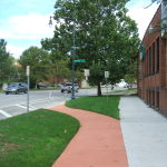
At one point along the parkway, close to Ravine Street, the southbound lane leaves the street to run on a newly constructed path along the sidewalk for several hundred feet in order to allow 24-hour curbside parking. The off-street path is made of concrete dyed in a color intended to resemble brick.

During the heated debate over this design change, many expressed concern that construction of the new pavement could result in the loss of a large number of trees. Fortunately, due to careful planning and design coordination between city planners and representatives from Cincinnati Parks, who have oversight of the city’s landscaped parkways, they were able to preserve many of the trees in this area. According to city officials, only two trees in total were lost due to the lane.

Transportation officials are now working to link these protected bike lanes along Central Parkway with future bike routes along Martin Luther King Drive and on the reconstructed Western Hills Viaduct.

Furthermore, after work on the Interstate 75 reconstruction project near Hopple Street is complete, planners will consider the extension of the protected lanes north to Ludlow Avenue. But first, Mel McVay, senior planner at Cincinnati’s Department of Transportation & Engineering, told UrbanCincy that the first segment needs to be examined first, and additional community feedback will be necessary.

“We need to see how successful the first section is,” McVay explained. “It [the second phase] will depend on what the community wants.”

EDITORIAL NOTE: All 25 photos were taken by Eric Anspach for UrbanCincy in late September 2014.

Categories
Arts & Entertainment News Transportation

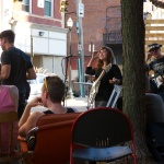
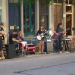
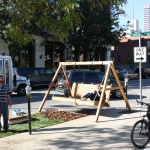
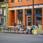
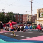
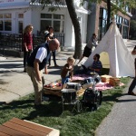
22 Photos From the 2014 Edition of Park(ing) Day in Cincinnati

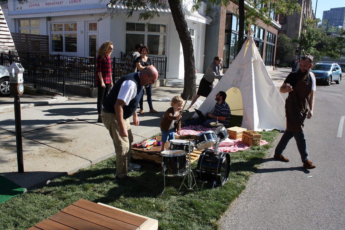
The 2014 edition of the international protest related to the wasteful use of public land for automobile parking took place this past Friday. PARK(ing) Day, as it is known, took place in hundreds of cities across the globe, including Cincinnati.

As with past years, the majority of Cincinnati’s parking spaces turned temporary parks or hangouts were concentrated in the center city. Perhaps the most prominent installations were in Over-the-Rhine and across the river in Covington.

EDITORIAL NOTE: All 22 photos were taken by Travis Estell and Bradley Cooper for UrbanCincy on Friday, September 19.