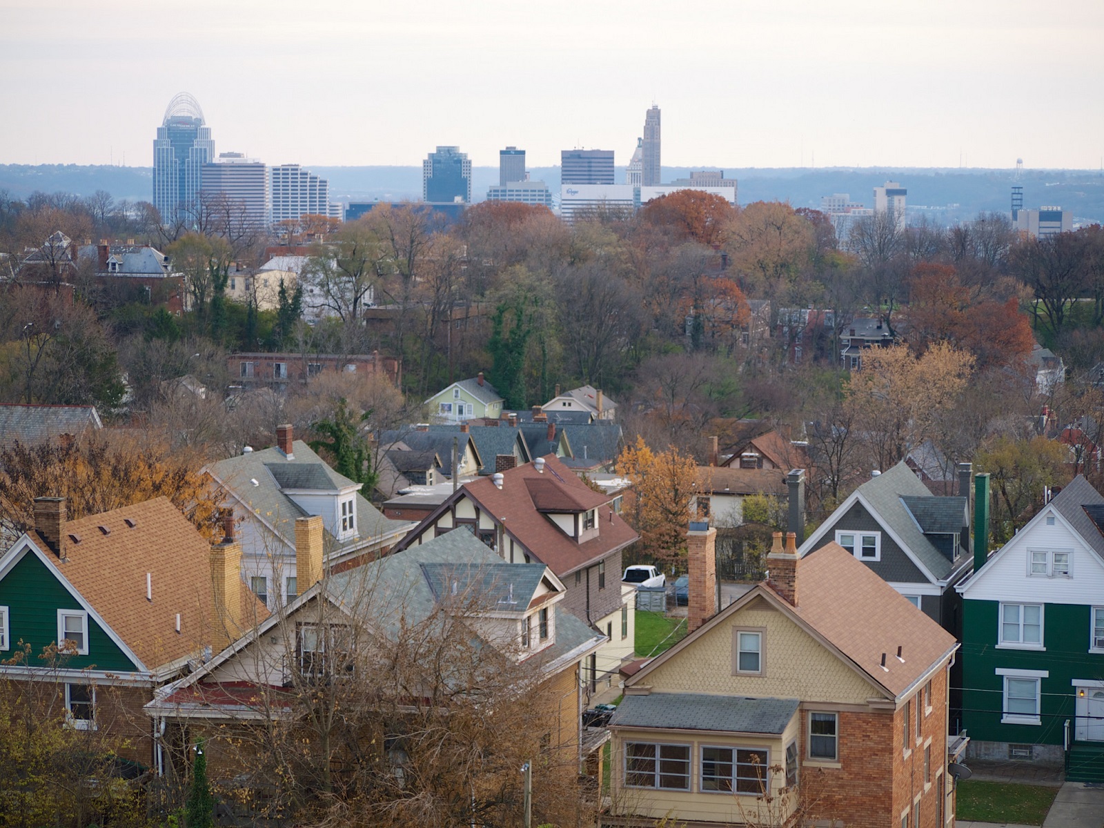
Stroll down Main Street or Vine Street and you might get a homogenous picture of Over-the-Rhine’s fabric. Brick buildings two-, three-, or four-stories in height, built up to the sidewalk, with dentils (nothing to do with teeth), and exquisite cornices projecting from the roof line.
It’s an amazing experience, but it’s not fair to whitewash all of Over-the-Rhine with that picture.
Over-the-Rhine’s buildings have been historically diverse, just like its residents. Some have long been forgotten. Many industrial and manufacturing buildings stand proud north of Liberty Street, small streets not more than a block long are held dear by longtime owners, and the hillsides are dotted with vacant land.
Historic buildings should be treasured, and thankfully, they typically are. However, there’s not a conclusive argument for what style of architecture fits best in existing buildings’ shadows. There need not be one. For new construction, style should be irrelevant.
Over-the-Rhine’s ‘magic’ is owed to building location, massing, composition, and rhythm. Most historic buildings owe their looks to outdated modes of construction when labor was cheap, and material applications that predate standardization and mass production. Pastiche is disrespectful to the historic context and rarely responds to contemporary concerns for the environment.
In fact, the Conservation Guidelines for the Over-the-Rhine Historic District state imitation should not happen: “New construction should be well-designed but should not replicate the existing buildings.”
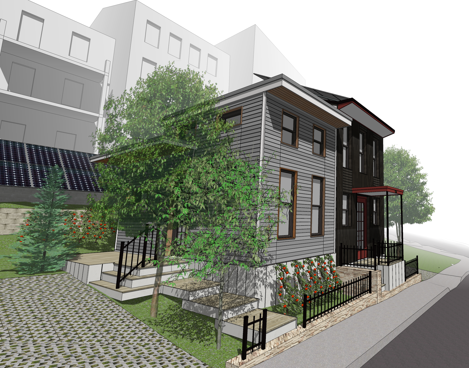
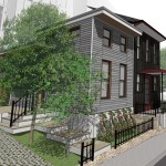
I’m developing two “tiny” homes on Peete Street in Over-the-Rhine that I hope will add value to the historic fabric. They’re small – one- or two-stories tall – and sans brick, intentionally designed to embrace contemporary technologies and construction practices.
Are these “tiny” homes appropriate in Over-the-Rhine, specifically at 142 and 144 Peete Street? Some of this discussion is my opinion, I welcome yours.
The Cincinnati Historic Conservation Board will provide preliminary feedback on my designs June 22 at 3pm. You’re invited. If you want to buy a tiny home, be there. If you want to show your support, be there. If you don’t think tiny homes are appropriate in Over-the-Rhine, well…you might want to be there before it’s too late.
Historic Conservation Board meetings occur every other week and are always open to the public. The next meeting is Monday, June 22 at 3pm in the J. Martin Griesel Room, Centennial Plaza Two, Seventh Floor, 805 Central Avenue, Cincinnati, Ohio 45202.
Centennial Plaza is one block west of City hall and a 12 minute walk from Government Square Transit Center, and is within close proximity to Metro routes 1, 6, 20, 32, 33, 49, 50, 67. Individuals with disabilities requiring special accommodations to participate in or attend any meeting should call the Historic Conservation Office at 513-352-4888 seven days prior to the meeting.