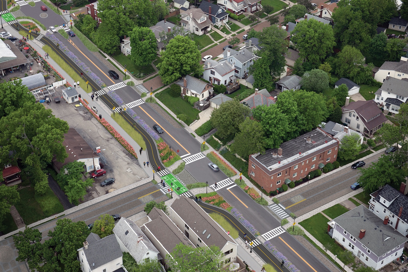
Cincinnati City Council’s Neighborhoods Committee gave a unanimous okay to an ordinance that would solidify an agreement to purchase 4.1 miles of railroad right-of-way from Norfolk Southern for $11.8 million, providing a key piece of the 7.6-mile Wasson Way recreational trail.
The agreement would give the City a two-year purchase option for the property, which extends between the Montgomery-Dana intersection along the Norwood/Evanston line to the intersection of Red Bank and Wooster roads in Columbia Township.
The ordinance was a last minute by-leave item on the committee calendar, made necessary due to a TIGER grant application that is due on Friday. Project backers are seeking $17 million of the $20 million project cost, and City support makes their application much more attractive.


The trail has been in the works since 2011, and a group of nearly 20 volunteers with the Wasson Way nonprofit got a big boost when Mayor John Cranley (D), City Manager Harry Black, and City staff assisted with the negotiations.
“We started looking at the TIGER grant application,” said Mel McVay, senior planner at Cincinnati’s Department of Transportation & Engineering. “They really talk about ‘ladders of opportunity’, increasing mobility and accessibility for folks throughout the region, and so we saw an opportunity between the property we could purchase and some property we already had, and some existing trails.”
Director of Department of Trade and Development Oscar Bedolla spelled out the project’s urgency.
“One of the statutory requirements associated with the scoring for TIGER is related to readiness,” he said. “And so, the more that we can do to show that the project is potentially shovel-ready enhances our ability to acquire or be selected for TIGER funding.”
Bedolla added that under the terms of the agreement, the City would pay nothing in the first year if it does not proceed with the purchase. If the purchase is pursued within the second year, there would be a 5% fee added to the price.
The City’s matching funding of between $3 million and $4 million for construction costs could be made up of a combination of state and federal grants, plus funds raised by Wasson Way, he said.
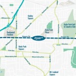
Still up in the air is approximately two miles or the corridor between the Columbia Township end point and Newtown, where it could connect with the Little Miami Scenic Trail.
“We’re working on it,” McVay said. “Unfortunately, the railroad was not open to selling any additional property east of that point. We’re investigating three or four ways that we can get farther east to the existing Little Miami Trail. We’re very confident we can get there.”
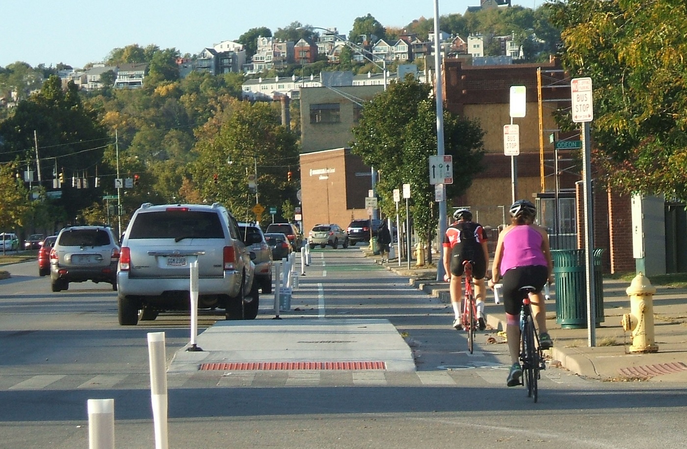
David Dawson, a resident of Mt. Lookout and realtor with Sibcy Cline, expressed concern about how a long-envisioned light rail line could be brought to the corridor once its freight rail designation is abandoned – a legal process that is handled by the U.S. Surface Transportation Board.
“It just can’t be said enough, in my view, that the City will now become the steward of a very valuable asset,” Dawson said. “This is a regional corridor that, in this day and age, cannot really be duplicated. If we lose that ability to eventually have transit, rail transit, or some sort of transit in the future, we won’t be able to put it back.
Dawson and other rail advocates are calling for the corridor to be railbanked, so that the addition of light rail transit remains an option in the future.
“This doesn’t just connect our neighborhoods, but in the future it has the potential to connect the entire region out to Clermont County,” Dawson said.
The use of this corridor has long been eyed for light rail transit, including in the 2002 MetroMoves regional transit plan. A 2014 study by KZF Design recommended a design solution that would preserve the ability to develop both light rail transit and a trail; and estimated that such an approach would bring the cost of developing the trail to approximately $11.2 million.
Andrea Yang, senior assistant City solicitor, said that the purchase agreement would give the City some time to work out those issues.
“The way that the abandonment process is structured, there is a time period which we could utilize to further investigate other options,” Yang said. “Had we chosen to railbank the property and attempt to preserve it, it would actually follow the same process for abandonment, so there’s definitely time to look into that if that is what Council’s interested in seeing.”
In April, Cincinnati’s Planning Commission voted to place an Interim Development Control Overlay District on this corridor in order to give the city more time to allow plans to progress without new development creating new conflicts.


 Max Grinnell is an author, historian, and a professor who is experienced at sharing unique perspectives of American cities. He has given a number of talks and led walking tours in cities across the country, focused on urban innovation, public art, and travel. Next week, he will be coming to Cincinnati to give us a look at the city from a historical perspective.
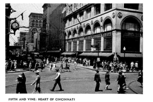 MG: Taken as a whole, the Federal Writers Guides are nothing short of amazing. Imagine the government putting writers back to work in the Great Depression by writing about their cities, states, regions, and more. Truly a fantastic undertaking, and the Cincinnati guidebook was the last big one to be released.