Categories
Development News Politics

Planning Commission Flexes Muscle With Use of Interim Development Control Districts

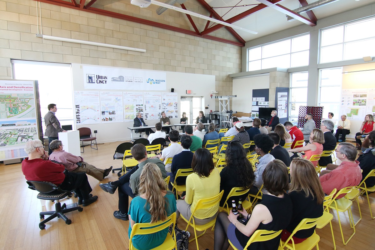
While two of the more lengthy discussion items were controversial planned commercial developments in Hyde Park and Roselawn, Cincinnati Planning Commission had a slew of other items on their Friday afternoon agenda.

In three related moves, the City Planning Commission recommended using Interim Development Control Overlay Districts. Two were extensions of existing IDCs, but one was newly recommended. Traditionally the City uses IDCs to put a temporary control on development while planning or feasibility studies are conducted. During such time, the establishment of uses, construction of new buildings, and the demolition or alteration of existing structures are all subject to review by the City Planning Commission.

The two recommended for extension include IDC Districts 73 and 74, Wasson Line District and Pleasant Ridge NBD, for an additional six months to allow for the completion of land use and zoning studies.

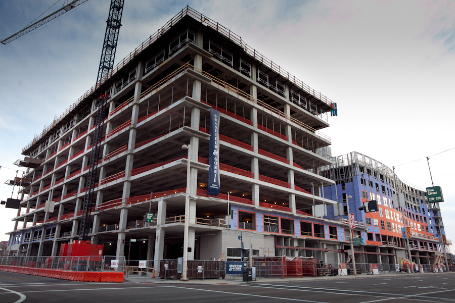
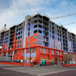
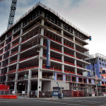
The newly recommended IDC is for the hot real estate market surrounding the University of Cincinnati. In particular, the neighborhoods to the south and southwest of the university where midrise developments continue to be proposed and built, much to the dismay of many long-time residents.

IDC District 77 was recommended to be put in place for a period of three months while a University Impact Area Study will look at growth and housing conditions, parking and traffic, quality of life concerns, and new development vs. existing character in the areas within a quarter-mile walk from the university’s main campus and the Clifton Heights business district.

Here is a quick rundown of the rest of the cases and the recommendations made by the seven-member board:

  • Approved the sale of 1623 Pleasant Street in Over-the-Rhine to Avila Magna Group, LLC for $20,000. The developer plans to renovate the 3,296-square-foot building into three one-bedroom for-sale units and one two-bedroom for-sale unit.
  • Approved the sale of approximately three acres of land left over from the Kennedy Connector road project to Vandercar Holdings and Al Neyer Inc. for $530,000. The developers plan to consolidate the land with adjacent parcels to construct two office buildings of up to 45,000 total square feet.
  • Approved a dedication plat of 3.48 acres along the south side of River Road in Sedamsville to allow for a western extension of the Ohio River Trail.
  • Approved a final development plan for Phase 1G of Oakley Station, which will consist of a 12,000-square-foot multi-tenant retail building at the northwest corner of Vandercar Way and Oakley Mill Lane.

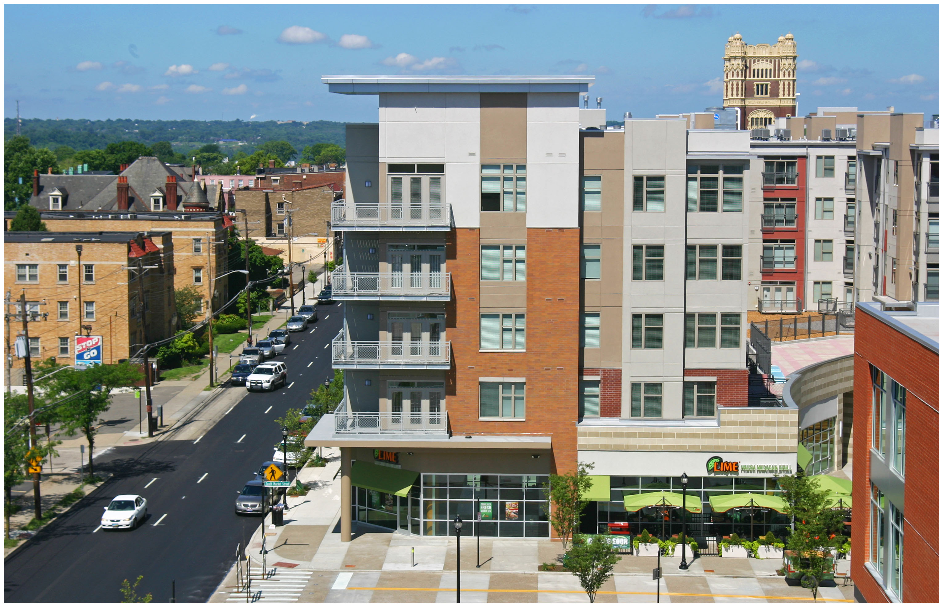
The commission also approved the sale of a one-acre parcel at Eighth and Sycamore streets to the Cincinnati Center City Development Corporation for $1. This move will ultimately pave the way for a new $45 million development that will continue the transformation of the northeast quadrant of the central business district where numerous other midrises are advancing.

Through the agreement, the non-profit development corporation will create a garage air lot, a commercial air lot, and an apartment air lot. Once construction is imminent, 3CDC will sell the garage air lot to the City for $1 to allow for a 500-space parking garage to be built. They will then sell the apartment air lot to North American Properties for $1 for the construction of a 130-unit tower, and will retain ownership of the commercial air lot for the construction of 10,000 square feet of commercial space.

Categories
Development News

Niehoff Urban Studio Open House and Panel Discussion to Focus on Remake of Burnet Woods

Most University of Cincinnati students are familiar with the small forest just across Martin Luther King. During the warmer months, before the autumn turns too chilly and after the winter cold snaps, students can be seen biking, hanging out and walking through it. Even during the winter it’s a good place for a snowball fight.

At almost 90 acres in size, Burnet Woods is one of the larger parks in the Cincinnati Parks System. The park, which is over 142 years old, is the subject of this year’s Niehoff Urban Studio Open House titled, “Urban Parks and Urban Life.”

In 2014, Mayor John Cranley (D) identified the redesign of Burnet Woods as one of his administration’s top priorities. Calling it one of Cincinnati’s top gems, the mayor partnered with UC President Santa Ono to embark on a planning initiative to include the park in a wider plan to form an uptown eco-district.

Part of that plan was to engage UC planning and urban design students in a year-long workshop which will wrap up on April 23 with an open house and panel discussion moderated by John Yung of UrbanCincy.

“I’m really excited to see the students’ work and have a discussion on placemaking at the park,” Yung stated. “Cincinnati is blessed with historical parks such as Burnet Woods and Washington Park, to name a few. You don’t get that in most other American cities.”

This event is part of the continuing partnership between the Niehoff Urban Studio and UrbanCincy to examine complex urban issues. Last year UrbanCincy moderated a discussion panel on Tiny Living focusing on the opportunities and challenges of small space living in the urban environment. Prior to that, bus rapid transit and bike mobility were topics of conversation. We even hosted an urbanist candidates forum just ahead of the last city council election.

The Burnet Woods open house will take place on April 23 from 5pm to 8pm, with the panel discussion will beginning around 7pm.

The Niehoff Urban Studio is located at 2728 Vine Street in Corryville and is accessible by Metro*Plus and the #24, #78 Metro bus lines. A Cincy Red Bike station is located a block away and there is plentiful free bike parking on the same block.

Categories
Development News

Hyde Park, Roselawn Community Leaders Push Back Against Perceived “Commercial Creep”

“Commercial creep” was the dominant theme of Friday’s meeting of the Cincinnati City Planning Commission.

The commission chose to table a zoning change request by Stagnaro, Saba & Patterson Co. (SSP) to rezone a property at 3443 Zumstein Avenue in Hyde Park from single-family residential use to office use, which would allow the firm to relocate four of its 13 employees from its adjacent office to the building’s first floor.

The zoning change was opposed by the Hyde Park Neighborhood Council, which fears the expansion of businesses onto its residential streets, a loss of parking, and uncertainty about the property’s future use.

“In our meetings with Mr. Saba [Peter Saba, attorney and SSP shareholder], he revealed that the short-term plan was to use the first floor for office, which appears to be rather innocuous,” said Gary Wollenweber, chair of Hyde Park Neighborhood Council’s Zoning Committee. “But then he explained that future plans may be to occupy the entire building, or demolish the entire building and build a parking lot, or perhaps enlarge his current building.”

Saba said that his firm was only exploring its options.

“Specifically, at that point in time when we looked at it, we realized our only plan we wanted to do is use that first floor space,” he said. “At this point, that’s all we have on the table. Anything else is beyond economic feasibility for us right now.”

SSP has a second office in Anderson Township, and it has been suggested that the firm could expand there. But Jeff Stagnaro, who is also an attorney and shareholder with SSP, said that the majority of his firm’s clients prefer the Hyde Park location.

“Your choice is really to move the entire firm to Anderson Township, or stay here in Hyde Park,” he said. “It is somewhat about us, but it’s about our clients more than it’s about us.”

To Wollenweber, the residents of Zumstein Avenue may have little defense over the zoning change, citing a recent change on Edwards Avenue as precedent.

“One of the arguments that was used against us was that it’s just one more parcel in the middle of a block, and what difference would it make if you just move one more parcel north?” he said. “This is the first parcel with a Zumstein address. So we are turning the corner off of Erie and now starting to march down Zumstein.”

The issue may appear before the commission again in May or June, giving time for the firm and the neighborhood to explore possible solutions.

In a less contentious debate, the City Planning Commission rejected a zoning change at 1780-1816 Section Road in Roselawn from residential multi-family use to office use.

Property owner Schuyler Murdock, who has run design-build firm CM-GC from the property since 2009, wants to make utility upgrades to her non-conforming building and is trying to market the adjacent parcels for the construction of two condominium buildings of four units apiece, plus a spa and wellness center.

Murdock told commissioners that she has already lined up an operator for the spa and has pre-sold two condominiums.

But with no concrete development plans and a fear that nothing would be built and the stepped-up zoning would remain, she failed to draw the support of the Roselawn Community Council.

Categories
News Opinion Transportation

GUEST COMMENTARY: How Personal Finances Factor Into Home-Work Commute

The recent Brookings study looking at “job growth” and “jobs near the average resident” got me thinking again about how my past two home and workplace decisions have affected my personal finances. For those not familiar with the report, it’s mostly negative news:

Between 2000 and 2012, the number of jobs within the typical commute distance for residents in a major metro area fell by 7%. Of the nation’s 96 largest metro areas, in only 29—many in the South and West, including McAllen, Texas, Bakersfield, Calif., Raleigh, N.C., and Baton Rouge, La.—did the number of jobs within a typical commute distance for the average resident increase. Each of these 29 metro areas also experienced net job gains between 2000 and 2012.

As employment suburbanized, the number of jobs near both the typical city and suburban resident fell. Suburban residents saw the number of jobs within a typical commute distance drop by 7 percent, more than twice the decline experienced by the typical city resident (3%). In all, 32.7 million city residents lived in neighborhoods with declining proximity to jobs compared to 59.4 million suburban residents.

As poor and minority residents shifted toward suburbs in the 2000s, their proximity to jobs fell more than for non-poor and white residents. The number of jobs near the typical Hispanic (-17%) and black (-14%) resident in major metro areas declined much more steeply than for white (-6%) residents, a pattern repeated for the typical poor (-17%) versus non-poor (-6%) resident.

Residents of high-poverty and majority-minority neighborhoods experienced particularly pronounced declines in job proximity. Overall, 61% of high-poverty tracts (with poverty rates above 20%) and 55% of majority-minority neighborhoods experienced declines in job proximity between 2000 and 2012. A growing number of these tracts are in suburbs, where nearby jobs for the residents of these neighborhoods dropped at a much faster pace than for the typical suburban resident (17% and 16%, respectively, versus 7%).

For local and regional leaders working to grow their economies in ways that promote opportunity and upward mobility for all residents, these findings underscore the importance of understanding how regional economic and demographic trends intersect at the local level to shape access to employment opportunities, particularly for disadvantaged populations and neighborhoods. And they point to the need for more integrated and collaborative regional strategies around economic development, housing, transportation, and workforce decisions that take job proximity into account.

Now looking at this from a personal finance perspective, I previously lived and worked in Indianapolis where my one-way commute was roughly 16 miles. For this distance, I found over time that it cost me about $5 a day to get to work.

When I moved to Cincinnati for a new job, I first lived in Covington where I paid $1 to ride the Southbank Shuttle in the morning and usually walked home. After moving to Clifton, I still found that my now driving commute of less than 3 miles came to cost around $1 per day.

So the $5 per day Indianapolis commute cost me roughly $100 per month in gas, where the $1 per day Cincinnati commute cost me only $20. Now this may not seem like a huge amount or difference, but to most people, $80 would nearly be a full day’s work. What’s not reflected in this difference is the reduced frequency and cost related to vehicle maintenance, specifically oil and tire changes. With the greatly reduced frequency of need for these two items, the monthly savings I’ve found is closer to the full $100 amount, essentially a pay raise simply for living close to work.

Employees obviously can have little impact on where an employer chooses to locate, but they do still have control over where they live and as long as I am able, 3 miles is the maximum distance I will live from work. This distance is also interesting as I’ve found it to be the maximum distance where taking the bus is a reasonable time-cost choice, a huge benefit during the recent snowy winters, and it is also a distance where my non-work trips to downtown stay at what I think is a reasonable level for places I like to visit.

EDITORIAL NOTE: This guest commentary was authored by Eric Douglas, a native of Grand Rapids, MI who currently lives in Cincinnati’s Clifton neighborhood. Eric is a member of the Congress for New Urbanism and earned a Bachelors of Science from Michigan State University. Since that time he has worked for Planning, Community Development and Public Works departments in Cincinnati, Indianapolis and Detroit.

If you would like to have your thoughts published on UrbanCincy, simply contact us at editors@urbancincy.com.

Categories
Development News

PHOTOS: Construction Continues to Transform Cincinnati’s Central Riverfront

The changes early phases of The Banks and Smale Riverfront Park brought to Cincinnati’s central waterfront were remarkable to many lifelong Cincinnatians. In fact, when UrbanCincy showed those dramatic changes through Google Street View imagery last year many were stunned.

Those changes, however, were just the beginning. Work has progressed rapidly on the subsequent phases of work at The Banks and Smale Riverfront Park. The structures and final look of this work is now taking shape and is easily visible.

Much of the work at Smale Riverfront Park will be complete within the next month or so; then the next wave of activity will begin and continue to push the park westward toward its ultimate completion several years later. The second phase of The Banks, which includes 60,000 square feet of street-level retail, 300 apartments and General Electric’s 340,000-square-foot Global Operations Center, is scheduled for completion at the end of 2015. The complete build out of GE’s new $90 million office building will not be fully finished until sometime in 2016.

EDITORIAL NOTE: All 15 photographs in this gallery were taken by Jake Mecklenborg for UrbanCincy on April 12, 2015.