Categories
News Opinion Transportation

EDITORIAL: City Should Move Forward on Liberty Street

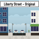
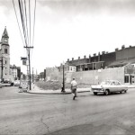
Liberty Street was originally built as a typical 30 foot wide city street, but was widened to 70 feet in 1955 to serve as a connector to Interstate 471 and Reading Road. The widening required a significant number of building demolitions and physically severed the neighborhood into two halves. Over the past fifteen years, as the southern half of OTR has redeveloped, the northern half has seen much less investment–and most of this has been in the area around Findlay Market, not along Liberty Street.

It is uncomfortable as a pedestrian to cross Liberty Street, as the walk light changes almost immediately to a countdown timer, and it takes about a half a minute to cross walking at an average speed. The current design, at 7 lanes wide, is optimized for speeding cars and is wholly inappropriate for a dense urban neighborhood like Over-the-Rhine.

Liberty Street is too wide and the City knows it. At an open house event in 2015, the City of Cincinnati first proposed a “road diet” for the street. Over the next several years, they facilitated several community input sessions regarding what came to be called the Liberty Street Safety Improvement Project. Each of these meetings was held at the Woodward Theater for a packed audience of people who live, work, or spend time in Over-the-Rhine. Members of the community spoke about the need to make Liberty Street safer for all people, including pedestrians, bicyclists, and transit riders–not just drivers.

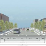
DOTE staff took the community input into consideration and ultimately presented their final plan to OTR Community Council on October 23, 2017. The plan called for removing two lanes from the south side of Liberty Street, reducing the crossing distance for pedestrians and discouraging excessive speeding. Additionally, this will free up land for new development along the south side of the street, providing space for new housing, retail, or office space.

As of June this year, the project was set to go out for bid this fall and begin construction in 2019, according to the city’s website.

Unfortunately, in August, the City Administration decided to “pause” the Liberty Street Safety Improvement Project because of concerns about the traffic that will be generated by the new FC Cincinnati stadium in the West End and a sudden concern about how the installation of a new water main would be funded.

The Liberty Street plan, which has been in the works for years, has now been mothballed because of a stadium plan that didn’t exist until a few months ago–publicly, at least. To make matters worse, City Council previously denied the OTR Community Council’s request to be involved in the stadium’s Community Benefits Agreement, saying that OTR would not be impacted by the stadium; but now seems that Over-the-Rhine may be negatively impacted by the cancellation of the Liberty Street Safety Improvement Project.

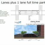
The City Administration’s concern about traffic is bizarre, as the narrowed Liberty Street would maintain five lanes of traffic during peak traffic times, the same number of travel lanes that exist today. Typically the outer lanes would be used for parking during off-peak periods, but the city could install “no parking” signs on game days. Therefore, the impact on traffic through the neighborhood would be minimal or non-existent.

As for the water infrastructure, that can be solved through a mix of council and departmental leadership. An example of that is a potential solution presented by Councilmember P.G. Sittenfeld to use the money from the sale of the Whex garage to plug the budget gap.

We urge the City Council to keep the city’s promise to the Over-the-Rhine community and pass legislation requiring the City to follow through with the Liberty Street Safety Improvement Project.
Categories
Arts & Entertainment Business News

Brewery Event to Tell Neighborhood Development Tale

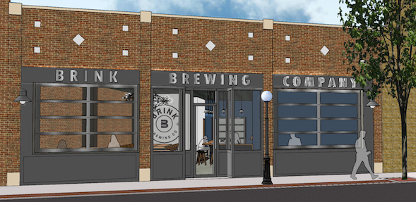
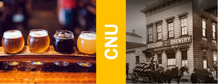
Craft brewing has taken the nation by storm and as evidence from the Ohio Craft Brewers conference held here in Cincinnati a few weeks ago, the phenomenon shows no sign of slowing down. One factor that has eluded many speculators predictions of “Peak Craft Brew” is the fact that many craft breweries come in different shapes and sizes. Even locally, whereas Rhinegeist and Madtree push for more distribution, smaller scale breweries have opened with the focus on neighborhood Main Streets like Brink Brewing in College Hill.

This trend is the focus of the Congress for New Urbanism’s Midwest Chapters first regional event. Titled, ” The New Neighborhood Brewery,” the event will focus on neighborhood craft breweries and their impacts on building neighborhood revitalization efforts throughout the Cincinnati, Northern Kentucky and Dayton regions.

“We’ve seen the positive impacts craft brewery scene has had on local neighborhoods and we want to get to the heart of what is their formula for success,” said Jocelyn Gibson, the Event Organizing Committee Chair, “Our hope is that this event will spur more communities to consider craft breweries as a tool for neighborhood success”

The event will take place on Friday March 3, starting at 12:20 PM at the Woodward Theater in Over-the-Rhine. It will conclude with a panel discussion and happy hour within viewing of the annual Bockfest Parades march down Main Street. Tickets are $25 a person and can be purchased via CincyTicket.

The event will be feature speakers from the Over-the-Rhine Brewery District, local brewers, real estate experts and neighborhood advocates. It will also provide continuing education credits for the American Planning Association.

The Midwest chapter of the CNU is dedicated towards advancing the issues of revitalizing urban neighborhoods in cities and towns across the region. The organization has three central goals including reclaiming public space for people, reactivating and reconnecting vibrant neighborhoods and championing urban development that is enduring, adaptable and human scaled. The chapter committee is in the process of becoming a regional chapter of the organization spanning from western Pennsylvania to central Indiana and from Lake Erie to Lexington Kentucky.

Woodward Theater is located within a block of Cincy Red Bike, Metro bus routes #17,19,24 and 16. And is two blocks north of the Cincinnati Bell Connector Hanke Exchange Station at 12th and Main.


Categories
Business News Transportation

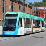
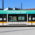
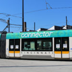
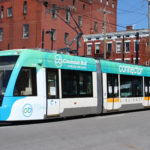
Cincinnati Bell Connector Makes Its Debut With New Branding Scheme

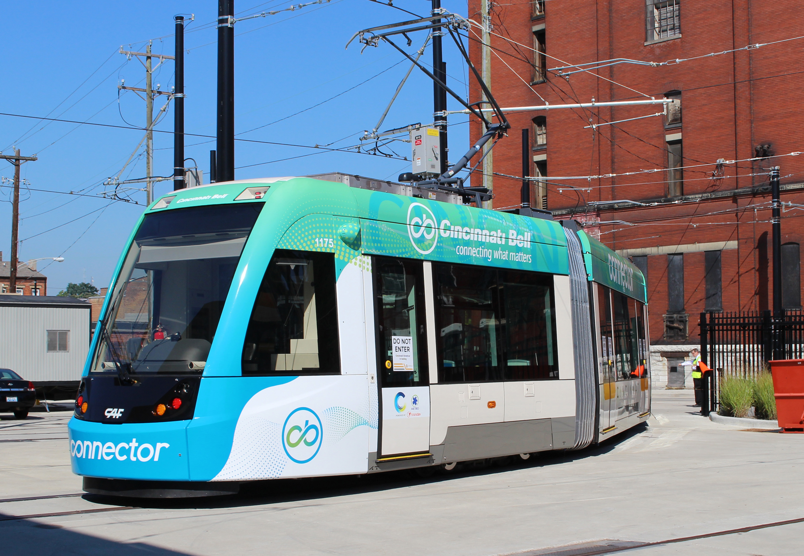
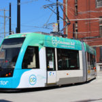
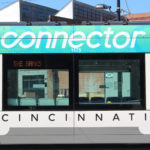
Local transit officials on Tuesday rolled out the first vehicle to bear the colors of the new branding scheme for the Cincinnati Bell Connector. Naming rights for the local rail transit system, formerly known as the Cincinnati Streetcar, have been purchased by Cincinnati Bell.

Under the sponsorship contract, the communications company has agreed to pay $340,000 per year for the next decade. The funding will be used to help cover costs for streetcar operations.

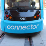
The new graphic scheme for the transit vehicles features the blue and green colors of Cincinnati Bell on the ends of the cars, and above the windows. While some remnants of the original branding scheme remain, the burnt orange color that had become synonymous with the streetcar will entirely go away in time for the system’s opening.

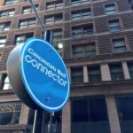
The new branding will be used throughout the system, including on the website, on all printed materials, and on support vehicles. Stations will be rebranded as Cincinnati Bell Connector stations; and several stations already have new signage reflecting the change.

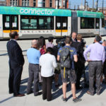
After a photo session for the media, the vehicle departed along Race Street to start regular operations for the day. All five streetcars will display the new branding by the start of regular service on September 9.

Categories
Development News Transportation

DOTE Hosts Final Open House for Liberty Street Narrowing Alternatives

The City’s Department of Transportation and Engineering will present the final two design alternatives for consideration at its third public open house tomorrow night at the Woodward Theater. The study which began in 2013 as a Complete Streets initiative proposed by the OTR Brewery District Master Plan now lives on as a proposal to physically narrow the street by ten to twenty feet on the south side. The new land could potentially unlock development sites along the street.

In its original configuration Liberty Street was once the dividing line between unincorporated territory and the city of Cincinnati. It was a narrow street with enough room for parking and less than two full lanes for traffic. In 1959 the City began to demolish properties along the south end of the street to widen the street to seven vehicle lanes and two parking lanes. The once quiet side street became a thru-way for automobile traffic looking to connect to the interstates and Central Parkway.

As revitalization progresses in Over-the-Rhine renewed attention is being paid to the street. The narrowing is an attempt to stitch back the fabric of the north and south halves of the neighborhood. Because of its configuration it is difficult for pedestrians to cross the street in the provided amount of time and bicycling is unsafe due to the high volume and speeds of automobile traffic.

Initial configurations were many ranging from a restoration of the original street width to preserving the current set up. In between proposals called for a reduction to four or five lanes with bicycle lanes or rush hour traffic configurations. After two subsequent meetings the options are down to two: A five-lane and a six-lane configuration. Input taken from this open house will be used to narrow down to the final alternative. Once that alternative is selected it will be presented for adoption at the Over-the-Rhine Community Council in September.

The meeting is this Tuesday evening, 6PM at the Woodward Theater on Main Street in Over-the-Rhine. The Theater is accessible by the #17, #19 and #24 Metro bus routes, and is within 100 feet of a Cincy Red Bike Station located at Main Street and Orchard Street.

Categories
Development News Transportation

Cincinnati DOTE Aiming to Narrow Liberty Street Redesign to Two Alternatives

Tomorrow night will be the second meeting of the Liberty Street Safety Improvement Study – an effort previously called the Liberty Street Complete Street Project in its 2013 iteration.

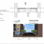
At the meeting, Cincinnati’s Department of Transportation & Engineering will present various concepts for the street’s reconfiguration, including five separate options at seven lanes, and additional six, five, four and three-lane options. Many of these scenarios contribute enough additional space to make development on the south side of Liberty Street feasible.

A major consideration, as the project’s title would suggest, is the safety of pedestrians and bicyclists that share the roadway. The current excessive width of the road, coupled with the speed of cars, contributes to an environment incongruous to pedestrian and cyclist safety.

Other elements being considered include pedestrian and cycling facilities, development potential on the south side of Liberty Street, streetscape aesthetics, automobile capacity/safety, and the preservation of on-street parking.

Both current and past public input, like the 2011 Brewery District Master Plan, stress a strong desire to improve the connection of urban fabric between the northern and southern portions of Over-the-Rhine.

“Liberty Street cuts off two sections of OTR,” said Frank Henson, a local cycling advocate. “All other north-south routes get cut up by the expansive width of Liberty; and I support narrowing it, with the inclusion of space for bicycle facilities.”

Many believe that the narrowing of Liberty Street can accomplish both of these objectives; although questions remain about how much narrowing is appropriate, and what should be done with the additional space that is made available.

According to data from the OKI Regional Council of Governments, Liberty Street has an annual average daily traffic (AADT) count of 14,278, which is actually less than the much narrower Ludlow Avenue’s 14,551 AADT in Clifton.

Ludlow Avenue has parking on both sides of the street, aside from peak hours from 7am to 9am where it is prohibited on the south side of the road, and 4pm to 6pm where it is prohibited on the north side of the road. This means that Ludlow Avenue, with its nearly identical traffic count, has fewer lanes of traffic during both peak and non-peak hours.

Martin Luther King Drive, near the University of Cincinnati’s main campus, has the same width as Liberty Street, but carries upwards of 20,000 AADT; and portions of Reading Road carry more than 25,000 AADT with just five lanes.

As a result, one could then deduce that travel demand on Liberty Street is far, far less than its width warrants.

Should Liberty Street be significantly narrowed, based on these figures, it could still absorb its current capacity, and, if necessary, divert traffic to Central Parkway, Fort Washington Way, or one of the many east-west thoroughfares that also have highway access.

Option 7d includes a “shared use bicycle/pedestrian pathway;” and while this widened path is intended to accommodate both pedestrians and cyclists, it is generally considered a less safe practice, as compared to separate facilities, to mix the two due to the faster travel speeds of people on bicycles.

An option that has bike and pedestrian facilities, preserves on-street parking, while also providing three travel lanes could reduce speed, increase safety, provide additional space for development, and still manage capacity based on comparable traffic counts.

The Ludlow Avenue and Reading Road examples disprove the idea that any decrease in capacity would be crippling. However, should demand increase, traffic is also highly divertible to other thoroughfares within a short distance.

Residents and interested parties can express their opinions on Tuesday, March 1 from 6pm to 8pm at the Woodward Theater in Over-the-Rhine. City officials say that they hope to narrow the alternatives to two following this meeting.