Categories
News Transportation

How to Reimagine Our Streets Around the Concept of Shared Space

CNU22 featured speakers from all over the world, from Bogotá to Toronto to Brighton. One plenary speaker from Bristol moved the audience with an idea called Shared Space that was beautifully simple and innovative, yet entirely new to most of the crowd.

Ben Hamilton-Baillie is a British urban designer, “recovering” architect and self-taught in the area of transportation planning. His presentation focused on explaining Shared Space as an urban design technique that can alleviate the frequently problematic interface between pedestrians, cyclists, automobiles and the public realm.

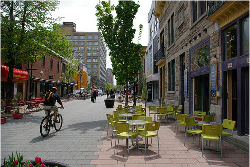
As the name would suggest, Shared Space advances the idea that streets themselves can be a seamless part of public space that is shared by all users. The method came from the Netherlands, where Hamilton-Baillie studied under transportation engineer Hans Monderman and Joost Váhl, who developed the Dutch woonerfs where pedestrians and cyclists have priority on roadways.

The concept also integrates a thoughtful assessment of human psychology as it relates to driving. “It’s essential to understand the changing view of the nature of risk,” Hamilton-Baillie explained. “Hazards keep us aware of our environment and allow us to adapt our behavior.”

This seems counter-intuitive, but it was effectively explained through an example of two cities in the Tel Aviv region of Israel.

Bnei-Brak, located east of Tel Aviv, is composed of largely low-income, ultra-conservative Jews. Ramat-Gan, also located east of Tel Aviv, is home to a more moderate, middle-income Jewish population. Hamilton-Baillie explained that the people of Bnei-Brak are known throughout the region as being unruly pedestrians. Adults and children cross streets with disregard for traffic. Locals know that they must be vigilant when driving there.

Conversely, the residents of Ramat-Gan respect pedestrian rules, crosswalks, and jaywalk less frequently. Drivers are more at ease in Ramat-Gan.

Perhaps counter-intuitively, there is a higher instance of pedestrian fatality in Ramat-Gan. Drivers in Bnei-Brak tend to cautiously drive at lower speeds, aware that there is a greater risk of a pedestrian appearing in the road. One can see in this example that increased risk makes for more attentive drivers.

Shared Space utilizes risk in the form of mixing cyclists, pedestrians and motorists on streets, and relies on the idea that removing lines and signaling allows for social protocols to take over more strongly than signs. This, Hamilton-Baillie said, is called “friction”, or natural cues that guide a driver’s speed. There is already an increasing awareness in North America that things like narrow streets, street trees and buildings built to the right-of-way naturally induce drivers to reduce speed without a speed-limit.

One might think that this friction would create delays, but evidence from project implementation has found the opposite, as did Hans Monderman’s projects in the Netherlands. And post-project evaluations, like in Poynton, UK, have confirmed the efficacy of Shared Space designs.

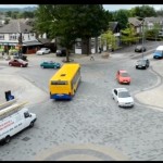
Poynton is a city southeast of Manchester. It is a throughway for traffic between the two larger cities of Macclesfield and Stockport. In this instance, vehicles were found to be passing on the main thoroughfare at a rate of 26,000 per day, many of which were trucks. The initial approach to relieve congestion was the construction of additional lanes of traffic.

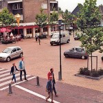
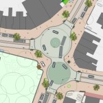
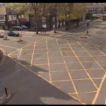
Shared Space, however, was applied as part of a regeneration scheme in Poynton. The first task for Hamilton-Baillie’s consultancy was to “remove every trace of traffic engineering.”

Three lanes of cars were reduced to one, signaling was removed, additional on-street parking was introduced, and sidewalks were widened. There was increased edge friction through vertical elements within the driver’s line of vision.

Even after the removal of two lanes and signals, traffic flow stayed the same and pedestrian traffic increased five-fold. Before the project, 16 of 32 shops in town were boarded up; but within one to two years after project completion, all shop spaces in the business district were occupied.

Streets were able to concurrently be part of Poynton public space and serve through traffic – the change in aesthetics was remarkable.

It is certain that freight and car movement is critical to the healthy functioning of any economy. This fact is not contested. But since civilizations started building cities, they have been venues for people to roam – sometimes at odds with our economic necessity to move people and goods through them quickly.

Fast big things and slow small things do not mix well.

Shared Space demonstrates that these seemingly incompatible users actually function better when mixed within the city fabric – cars move more fluidly when drivers are forced to react to their surroundings instead of their actions being dictated to them. People are safer, too.

The outcome is that streets become a different kind of public space, where mobility means interacting with one’s surroundings.

When asked if he thought famously impatient North American drivers could adapt to the concept, he paused for a moment and said, “Everywhere Shared Space has been applied, I was told that the drivers in the locale couldn’t adapt. In every case they did.”
Categories
News Opinion Transportation

PHOTOS: The Impressive Urbanity of Colombia’s Third Largest City

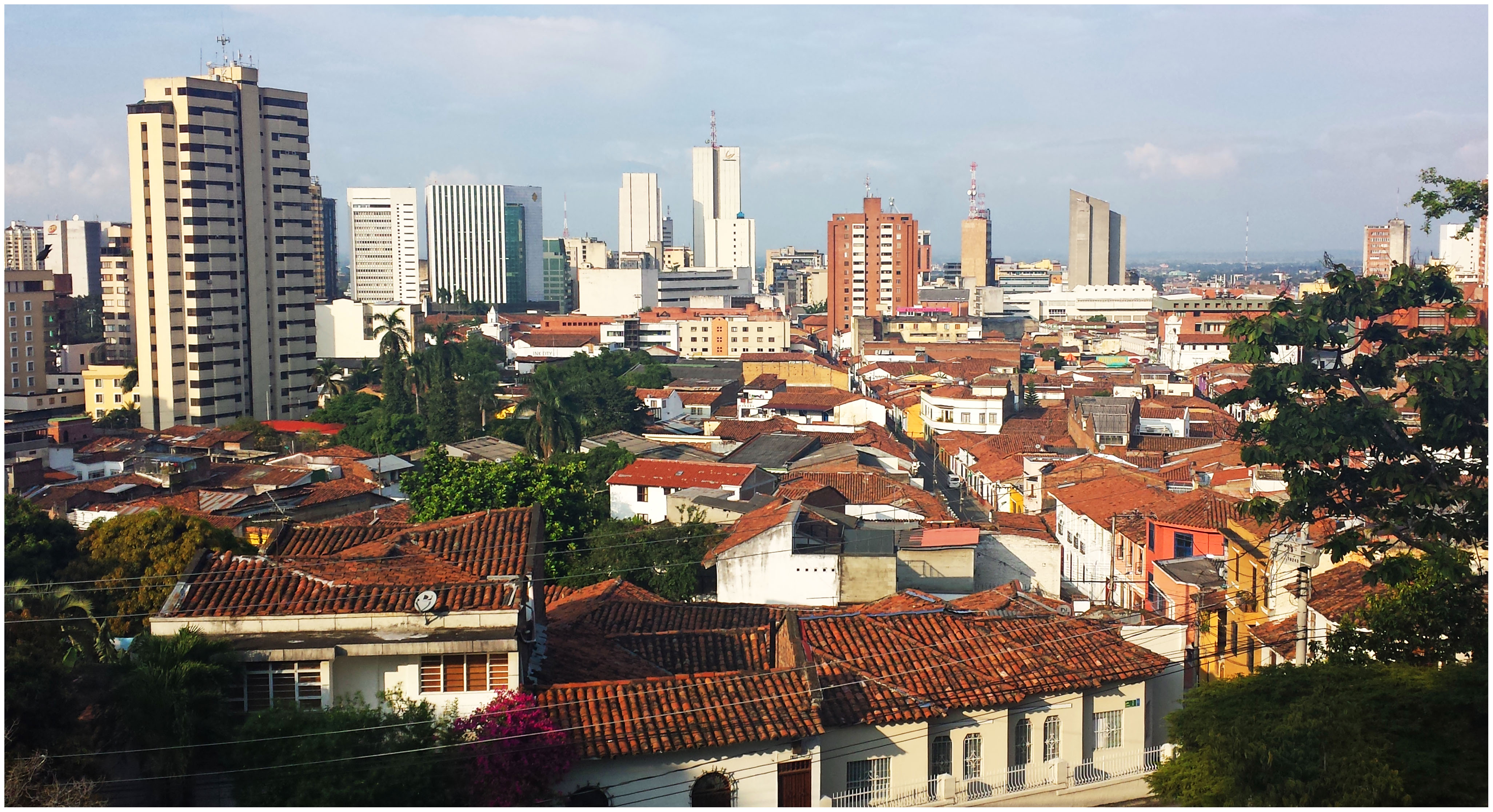
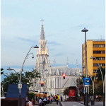
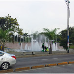
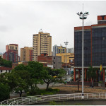
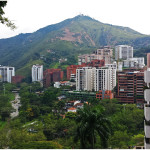
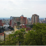
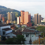
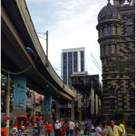
If Medellín is the clean, gem of Colombia, Cali is the working man’s town. Visibly grittier than Medellín, Cali sports an incredible amount of assets that match and sometimes outshine Medellín.

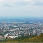
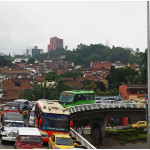
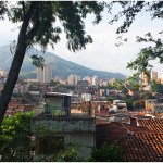
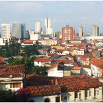
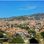
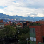
Surrounded by mountains on one side, Cali’s skyline is more impressive than that of Medellín, while also seeming more original. Everything in Medellín is new, it seems.

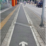
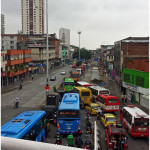
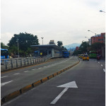
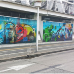
While no rail transportation exists in the city, a large and extensive system of bus rapid transit allows traveling easy. In addition to their bus rapid transit system, Cali also has a system of bike lanes, although no bike share system.

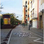
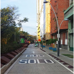
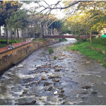
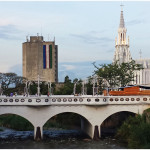
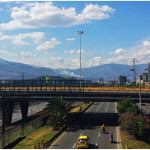
They have impressive grand boulevards and arterials all throughout the city as well as grade-separated highways more impressive than those I saw in Medellín. In the downtown area, the city capped over a highway running along the river and made it a pedestrian and bus-only boulevard, following the river on the left and providing easy access to the center city and many historical buildings.

For a city with a reputation as being dangerous, it was incredibly efficient and had an impressive number of assets, including an incredible park system affording many breathtaking views of downtown Cali and the city sprawled out around it.

In the first official episode of The UrbanCincy Podcast, we were joined by Natalia Gomez Rojas, a city planner from Bogotá, to discuss Colombia’s pursuit and implementation of bus rapid transit. The discussion also touched on a number of societal issues facing Colombia’s cities as they continue to develop and evolve in a post-drug cartel era. You can subscribe to The UrbanCincy Podcast on iTunes for free. You can also read more of our coverage regarding bus rapid transit here.

This two-part photo series on Colombia’s second and third largest cities was put together during a four-month assignment by Jacob Fessler, during which he was based out of the city of Barranquilla.

Categories
Arts & Entertainment News

URBANexchange Returns to Taste of Belgium in Corryville This Thursday

URBANexchange at Taste of BelgiumIt’s been a busy month for news, so what else could be better than a gathering with fellow urbanists to talk about it all?

General Electric will most likely either locate their new Global Operations Center at The Banks or in Oakley, Cincy Bike Share is rapidly advancing, the Central Parkway Cycle Track had all sorts of controversy, Toyota will relocate its North American headquarters to Plano, Texas, the Republicans in town are now all agush for the Cincinnati Streetcar, ground was finally broken on the second major phase of work at The Banks, and new tenants will soon open at Findlay Market.

Plus, on top of all that, we’ve had Jocelyn and John in Atlanta for the APA 2014 National Planning Conference, and Jacob running all around Colombia to check out their transport systems.

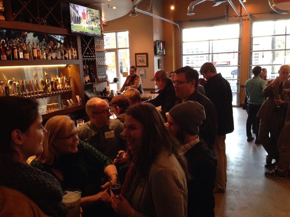
But nevertheless, URBANexchange will go on and we’ll be having this month’s event at Taste of Belgium on Short Vine in Corryville again. The last time we gathered here we were joined by Vice Mayor David Mann and a large group filled the room. And for this month, Councilmember Chris Seelbach and State Representative candidate Dale Mallory have confirmed their attendance on Facebook.

Due to all this recent news, we figure there will be lots to debate and gossip about, so try to make some time in your schedule to join us sometime between 5:30pm and 8:30pm at Taste of Belgium in Corryville.

This month we will be giving away two prepaid transit passes for Metro, who, by the way, recently updated their system maps to include other regional transit operators and show the route of the first phase of the Cincinnati Streetcar.

Those interested in attending can come and go at any time during the event, which is free and open to anyone who would like to participate. We do, however, ask that you kindly support our generous host by drinking and eating like a Belgian.

Categories
News Opinion Transportation

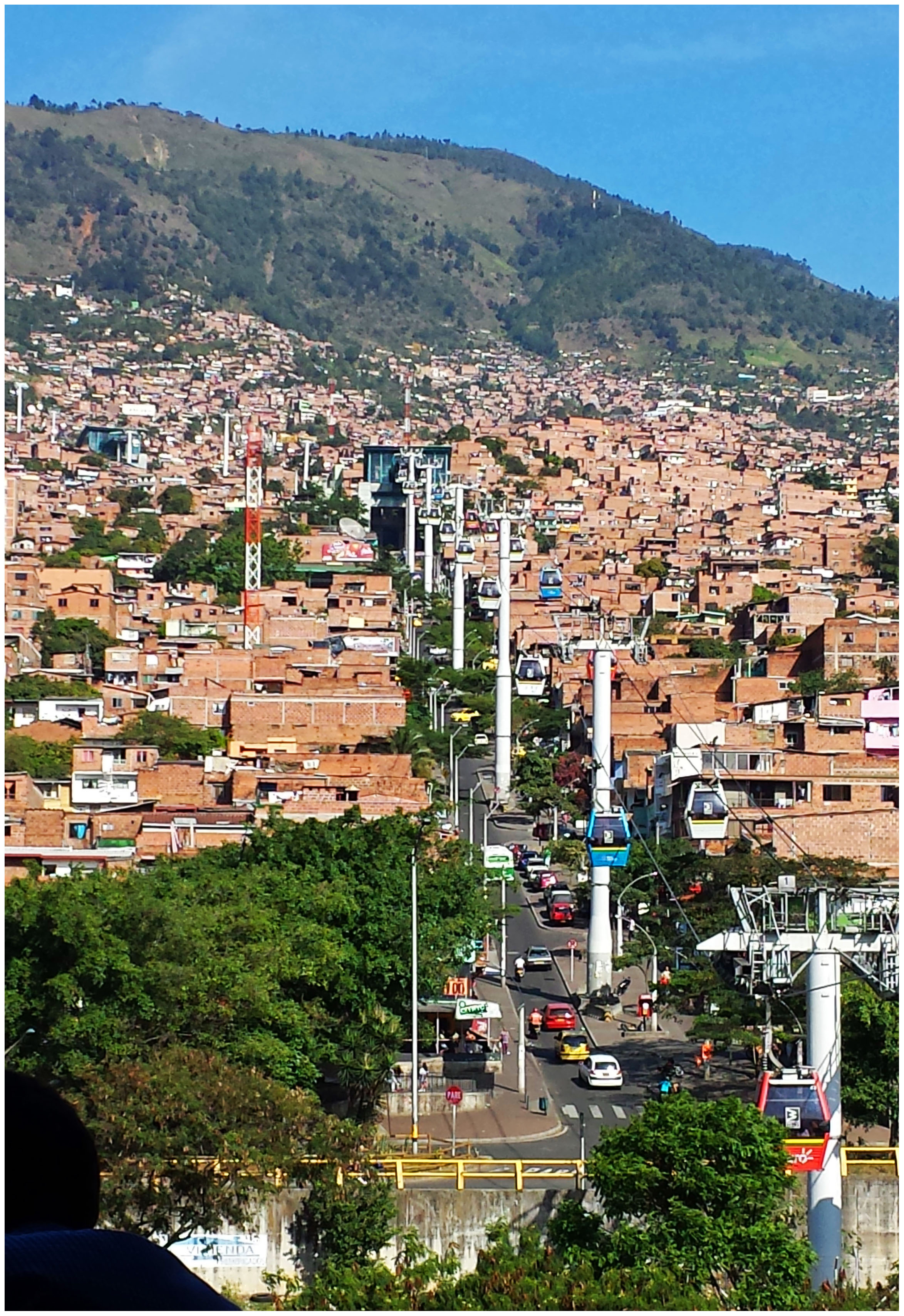
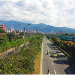
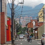
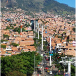
PHOTOS: The Rebirth and Hype of Medellín Does Not Disappoint

It is not hard to understand why Medellín is being considered by many to be Colombia’s gem city.

From the moment I moved to Colombia, everyone I met talked about Medellín with a gleam in their eye. I half-expected to be disappointed once I finally arrived because of all the hype. Once I did arrive in the city, however, disappointment was not the reaction.

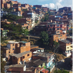
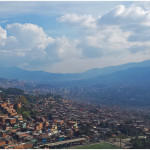
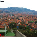
Sitting in a valley, surrounded by mountains on all sides, Medellín is an impressively modern city in the midst of a country still modernizing. Endowed with beautiful weather, clean environment and efficient work culture, it is a powerful part of the Colombian economy. For a city that a mere 20 years ago was among the most dangerous in the world, the transformation is remarkable and attests to the will of the people of Medellín.

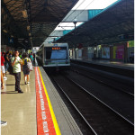
Medellín’s transportation system consists of two grade-separated rail lines (elevated and ground-level), three metro cable lines, and two bus rapid transit lines. Maps of the metro system show a future extension of the smaller of the two rail lines.

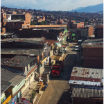
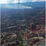
While one of the metro cable lines is mostly for tourists, the other two have transformed commutes that used to take two hours through the winding streets of the city’s informal, working class neighborhoods into a short ride above the city that connects with the rail lines below. In addition to this, the city has a public bike share system.

While I was unable to see the extent to which the system was employed, the fact that they had it was very impressive. To go along with their bike share system, the city had a clear system of bike lanes on many of the streets. The city also has several grade-separated highways and large arterial roads, a problem in many Colombian cities.

In the first official episode of The UrbanCincy Podcast, we were joined by Natalia Gomez Rojas, a city planner from Bogotá, to discuss Colombia’s pursuit and implementation of bus rapid transit. The discussion also touched on a number of societal issues facing Colombia’s cities as they continue to develop and evolve in a post-drug cartel era. You can subscribe to The UrbanCincy Podcast on iTunes for free.

Categories
Development News Transportation

Cincinnati to examine bus rapid transit as part of expanding transit network

As Cincinnati moves forward with the development of the Midwest’s first modern streetcar system, a political leader is pushing for even greater transit improvements that would compliment an increasingly diverse collection of alternative forms of transport.

Cincinnati Vice Mayor Roxanne Qualls is proposing a robust network of bus rapid transit (BRT) that would connect the region’s commuters with major employment centers like Uptown and Downtown. Qualls believes BRT is a cost-effective and innovative transit strategy.

“Bus rapid transit incorporates many of the advantages of light rail, but is cheaper and can be implemented quickly,” Qualls said in a prepared statement. “Cities around the world and the country are giving commuters a great transit option now with rapid transit.”
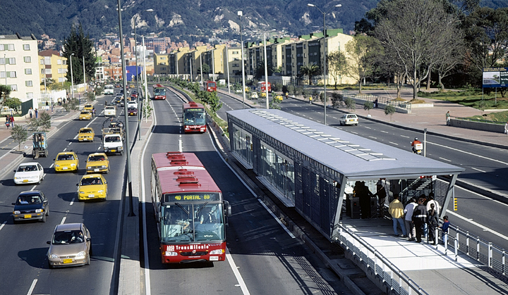
Many cities around the United States and internationally are beginning to look at BRT more closely as a cheaper alternative to building dedicated rail transit systems. After first being popularized in Bogotá, Columbia, bus rapid transit now exists in 33 cities throughout the world with an additional 22 systems planned.

What differentiates BRT routes from other bus routes is the dedicated lanes they use. These dedicated corridors are often complimented by signal prioritization and timing that allows for faster travel times over long distances.

“Cities are looking to rapid transit to meet increased commuter demand and to spur development,” Qualls stated. “Because the conversion to rapid transit is faster and cheaper than developing light rail, it is an important interim step that helps build transit ridership and provides a great service in the near term.”
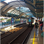
While some transit experts agree that BRT can serve as an integral part of an overall transit system, others believe that BRT can be compromised when pitched as an inexpensive alternative to light rail.

“If you look at Oakland, who was studying BRT, they’ve been working on the project for a long time and recently had the City of Berkeley decline to even study dedicated lanes even though that was the plan all along,” explained Jeff Wood, Chief Cartographer, Reconnecting America.  “They felt like they could do it cheaper than light rail, but now they aren’t even going to get any of the benefits of bus rapid transit.”

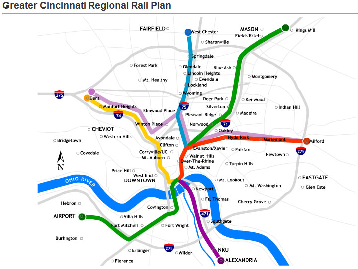
As part of Vice Mayor Qualls’ motion, BRT would be a portion of a larger multi-modal transit plan that would include the streetcar and light rail according to Cincinnati’s existing rail plan. Major corridors would include I-75, I-71, Queen City Avenue, Harrison Avenue, Vine Street, Reading Road, Madison Road, and Martin Luther King Drive. Qualls suggested the city aggressively pursue state and federal funds to pay for the development of bus rapid transit.


Those interested in learning more about bus rapid transit have the opportunity to meet with BRT expert Jack Gonsalves at the OKI Regional Council of Governments Board Room (map) on Monday, December 6 at 1pm.  Gonsalves will be joined by a variety of local leaders to discuss BRT and how it might be developed in Cincinnati.