 The bedroom suburb of Fort Thomas, Kentucky is perhaps best known for its streets of tidy, well-kept houses and its nationally-ranked public schools. Located along a ridge overlooking the Ohio River and downtown Cincinnati, Fort Thomas is an attractive destination for those seeking the relative peace and quiet of a suburban lifestyle, combined with convenient access to downtown Cincinnati along with walkable streets and plenty of historic character.
In recent years, Fort Thomas has become one of several Northern Kentucky cities seeking to enhance its appeal by revitalizing its historic retail district and rediscovering the benefits of pedestrian-scaled, transit-friendly urban development. Fort Thomas’s neighbor to the north, Bellevue, has received recognition for its ongoing historic preservation work, and Bellevue and Covington have both made strides in implementing form-based codes that could ultimately serve as a model for zoning code changes in Cincinnati.
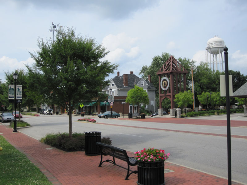
Over the past few years, Fort Thomas has undertaken a number of projects to enhance the city’s role as an attractive community within Cincinnati’s urban core. These projects include new buildings for Highlands Middle School and Woodfill Elementary School, a new amphitheater and bike trails in Tower Park, and the restoration of the city’s iconic 100-foot-tall stone water tower at the entrance to Tower Park. Perhaps most visibly, though, the city of Fort Thomas has recently completed major streetscaping improvements to its primary business district centered around the intersection of Highland and Fort Thomas Avenues and its secondary business district — the so-called Midway district — located adjacent to the site of the former Army post.
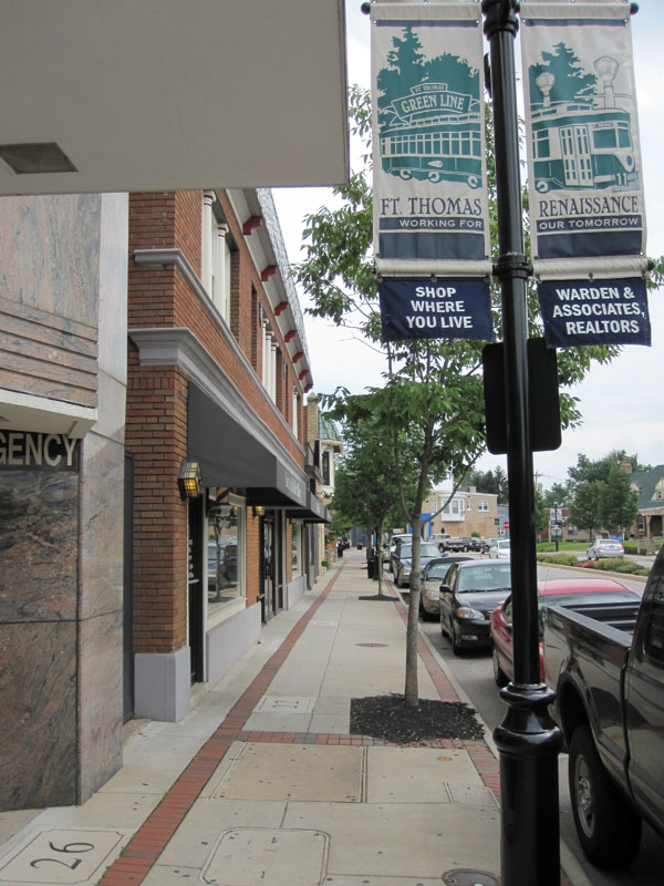
Aspects of the two streetscaping projects included burying overhead utility lines, the reconstruction of sidewalks and crosswalks to include brick accents and other decorative elements, the addition of street trees and thoughtful landscaping, installation of pedestrian-scaled light fixtures and signage, as well as the introduction of benches and other outdoor seating. The first phase to be completed was the primary downtown district at Highland Avenue and Fort Thomas Avenue.


Now complete for a couple of years, the trees and plantings in downtown Fort Thomas have begun to nicely mature. Of particular interest is the focus on the former Green Line streetcar, which provided transit access to the Army post and served as a catalyst for much of the subsequent development in the city from the 1890’s through the 1950’s. Fort Thomas is the classic “streetcar suburb”, and today’s TANK bus route through town still carries the Green Line’s old #11 route number.
Following the completion of streetscaping improvements to the downtown district of Fort Thomas, the second phase involved similar improvements to the so-called Midway district, a secondary business district on South Fort Thomas Avenue that grew up adjacent to the former Army post and was named after the carnival midway at the 1893 World Columbian Exposition in Chicago. The site of the Army post — originally built to replace the flood-prone Newport Barracks — is now home to Tower Park, a large Veterans Administration nursing home, and an Army reserve center.

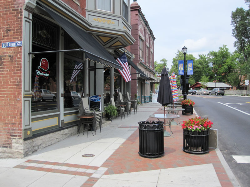
The streetscaping improvements recently completed in the Midway district are similar in nature to those performed in downtown Fort Thomas. Included in the Midway improvements were the reconfiguration of the River Road intersection, which now provides a small civic space that can be used for outdoor concerts or a farmer’s market, and the addition of sidewalk seating for neighborhood establishments such as the Olde Fort Pub and the Midway Cafe.
There are still a number of vacant storefronts in the Midway district, but it is hoped that the now-completed streetscaping improvements along with other measures, such as the restoration of long-vacant officers’ housing nearby and marketing efforts by the newly-formed Renaissance District, will see the addition of new retail tenants to the Midway district.
 In a unique twist to this year’s holiday retail offerings, 3CDC and the Over-the-Rhine Chamber of Commerce are opening a pop-up retail shop in Over-the-Rhine focusing on local businesses. Starting November 26 and open 9 days (over 4 weekends) through December 19, 1213 Vine Street is the OTR Pop Up Shop.


