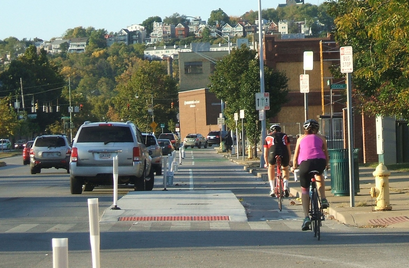
Anyone who rides a bicycle to work, either their own or on a Cincy Red Bike, knows all to well the commute mostly involves sharing the road with automobiles. With the current city administration focusing more on creating recreational trails for bicycle hobbyists, cyclists who bike as a form of transportation can only daydream about better on-street bicycle infrastructure.
That daydream could come closer to reality with the release of a new animation from planner and author Jeff Speck.
An accomplished author of books such as Walkable City and Suburban Nation, Speck describes four simple street reconfiguration options that would better accommodate all modes of transportation without adding to the roadway’s width. In order to accomplish that, the techniques include narrowing lanes, adding striped or buffered bike lanes.
Planners and engineers have found that such changes have a minimal impact on the flow of vehicular traffic, by adding only seconds onto commute times.
The street in the video is 38 to 40 feet in width, which is just about the average width of many streets throughout Cincinnati. In fact, UrbanCincy proposed a similar reconfiguration of Elm Street through the Central Business District in 2013. Such transformations have been noted to positively impact safety.
“Such a change on Prospect Park West in Brooklyn reduced speeding by 77% and reduced injury crashes by 63%, while having no impact on car volume or travel times,” Speck noted in the video.
When Randy Simes first wrote about the Elm Street reconfiguration, he explained that it would also serve as a critical connection point between the protected bike lane on Central Parkway and the Ohio River Trail. While Elm Street is a particularly obvious choice, other streets throughout the city could and should get some of the same treatment.
One another prominent example is Liberty Street, which Cincinnati’s Department of Transportation & Engineering has been looking at for years as a potential road diet candidate. Originally designed for much higher traffic volumes that were never realized, Liberty Street’s 70-foot width now functions more as a safety issue for people walking or biking, and as a barrier between the northern and southern portions of Over-the-Rhine.
Those plans for Liberty Street were originally envisioned by the Over-the-Rhine Brewery District, which then convinced City Hall to perform some planning work. At this time, however, the project does not appear to be moving forward.
Speck’s video makes it easy to see that for the cost of paint it would be relatively easy to install a more comprehensive bike network on streets throughout the city. Such changes would improve safety, increase the number of people riding bikes, which probably means more Red Bike usage, all while slowing down traffic just a tiny bit. Besides, even automobile drivers may appreciate not needing to directly interact with so many bicycles on the street.
