Categories
News Opinion Transportation

PHOTOS: The Impressive Urbanity of Colombia’s Third Largest City

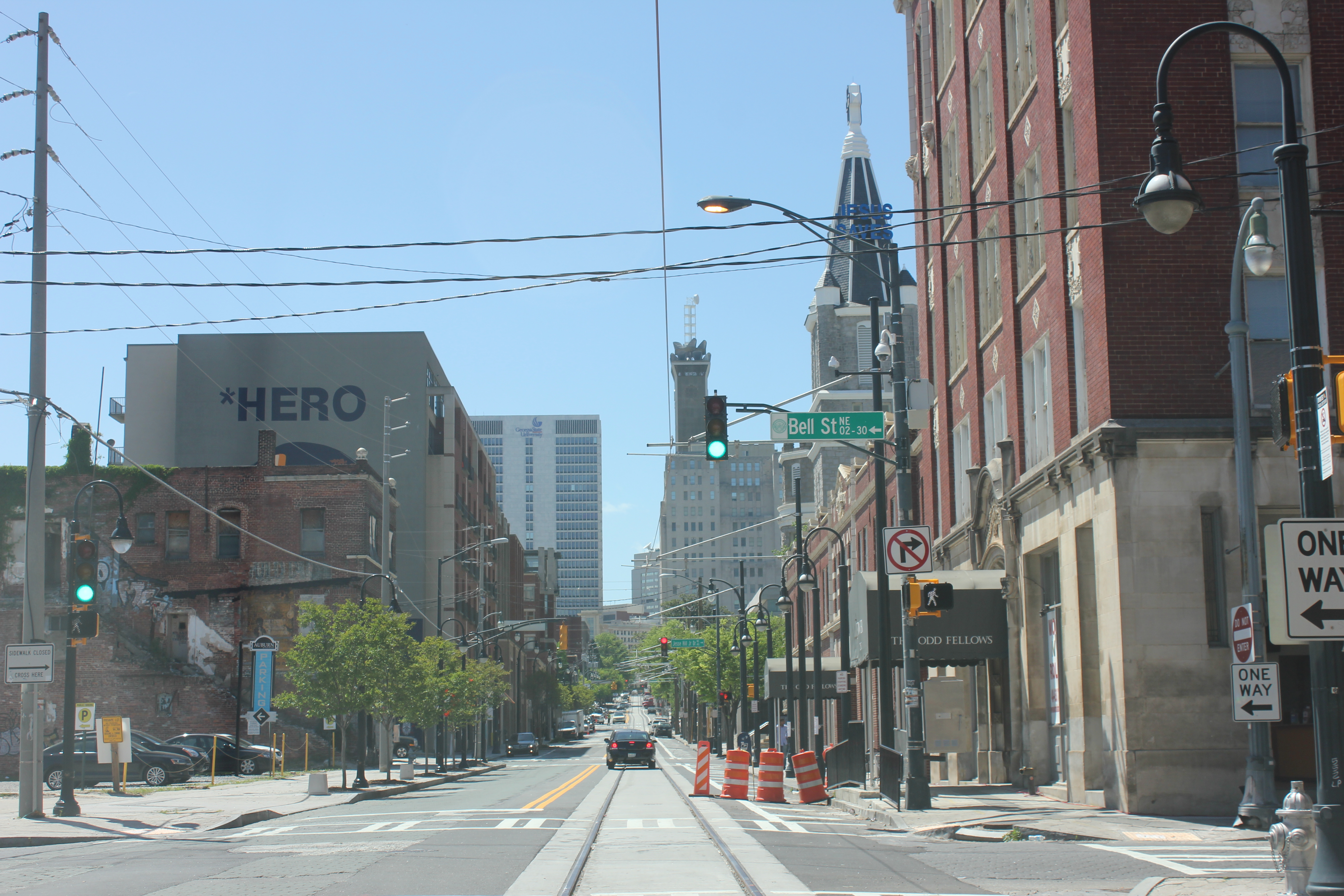
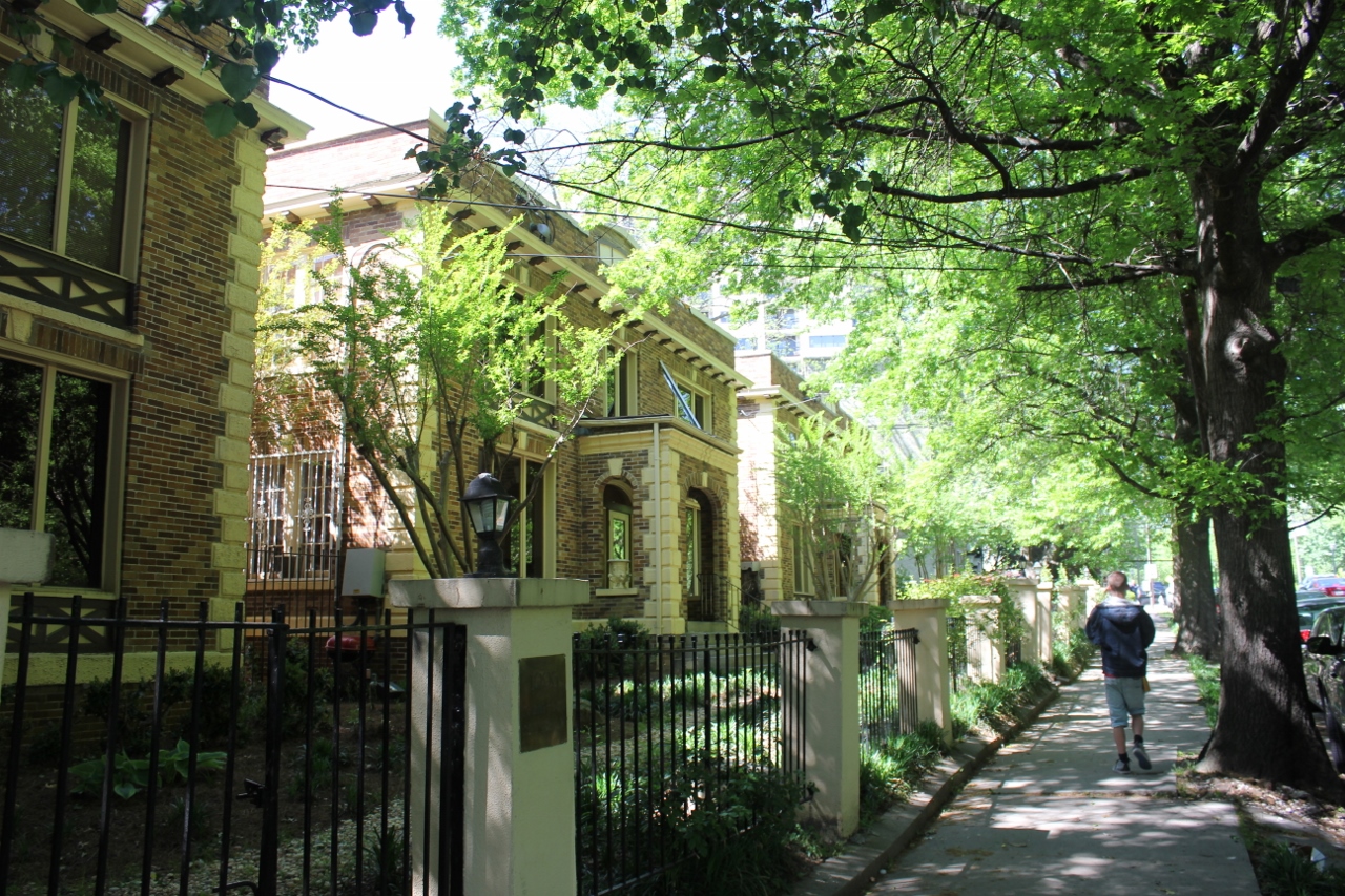
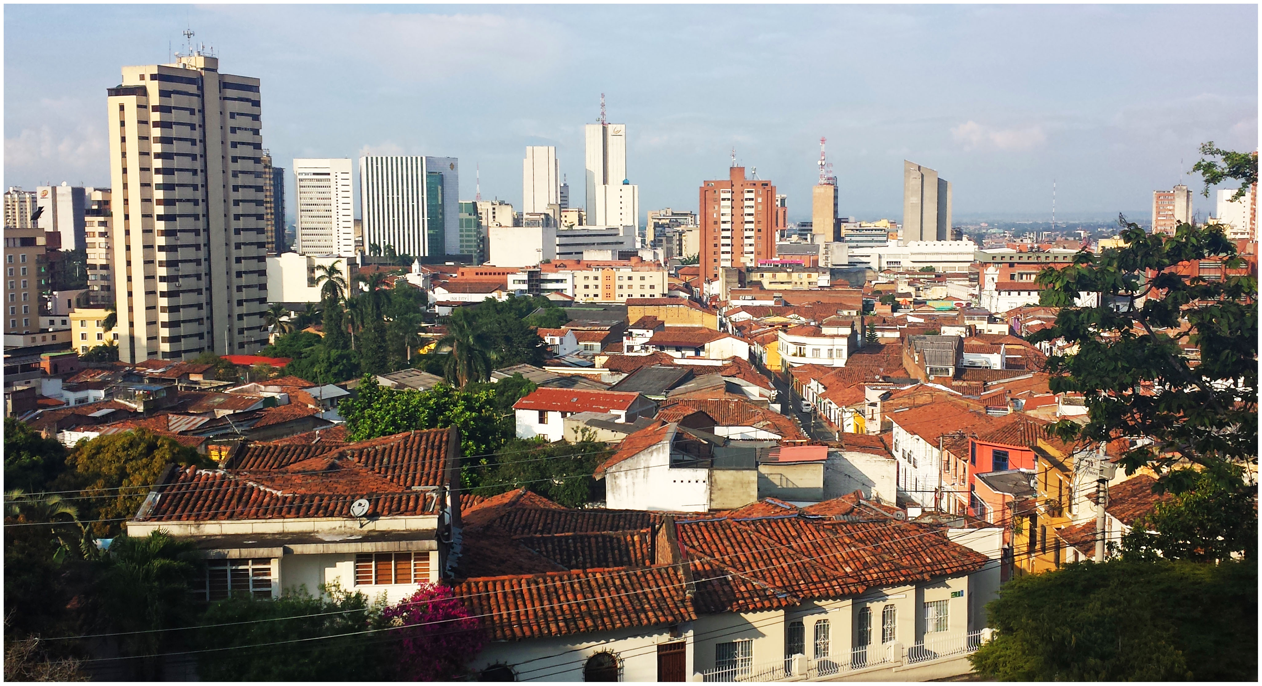
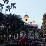
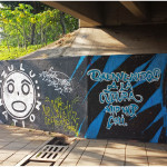
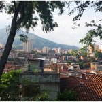
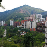
If Medellín is the clean, gem of Colombia, Cali is the working man’s town. Visibly grittier than Medellín, Cali sports an incredible amount of assets that match and sometimes outshine Medellín.

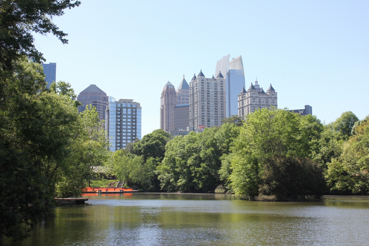
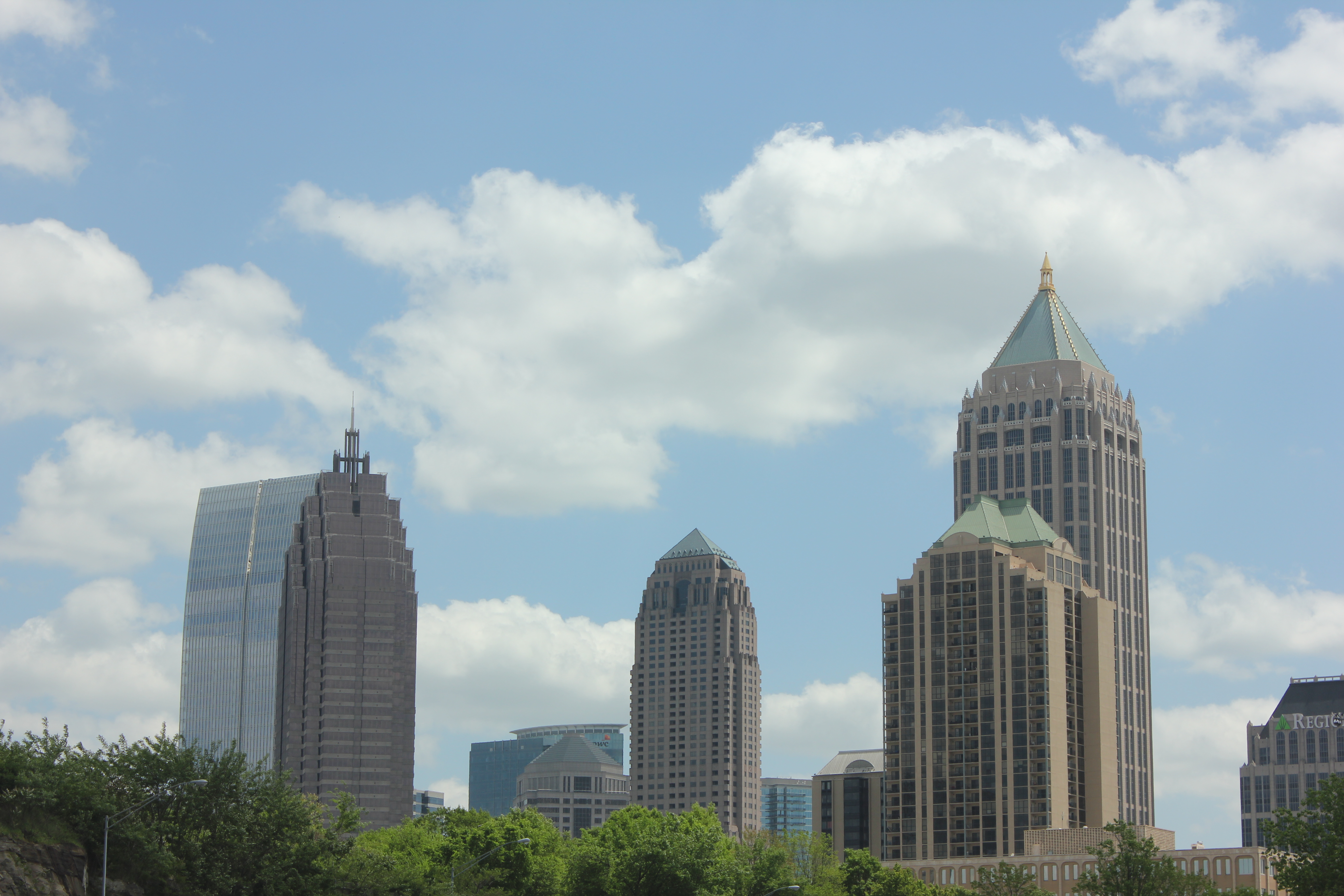
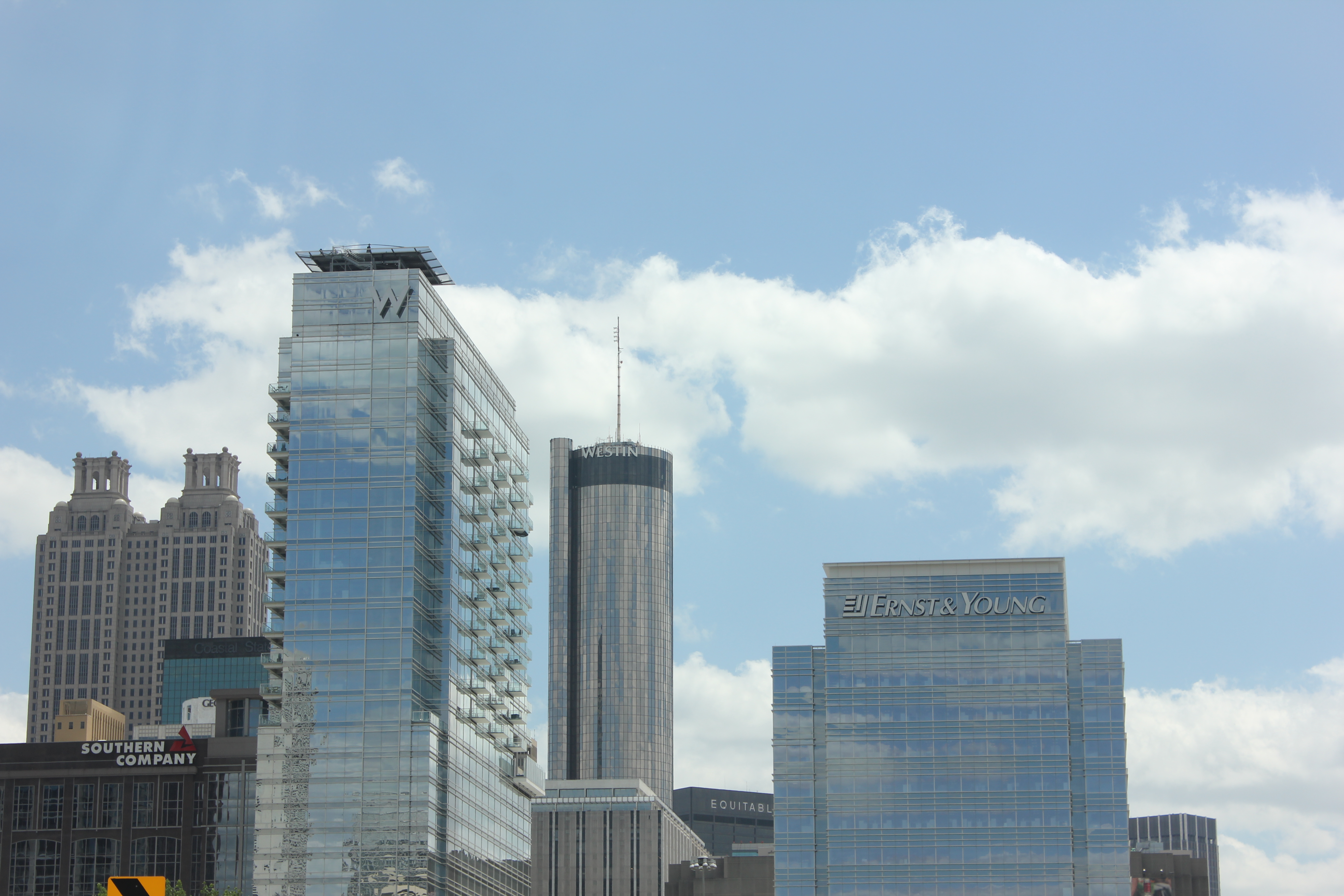
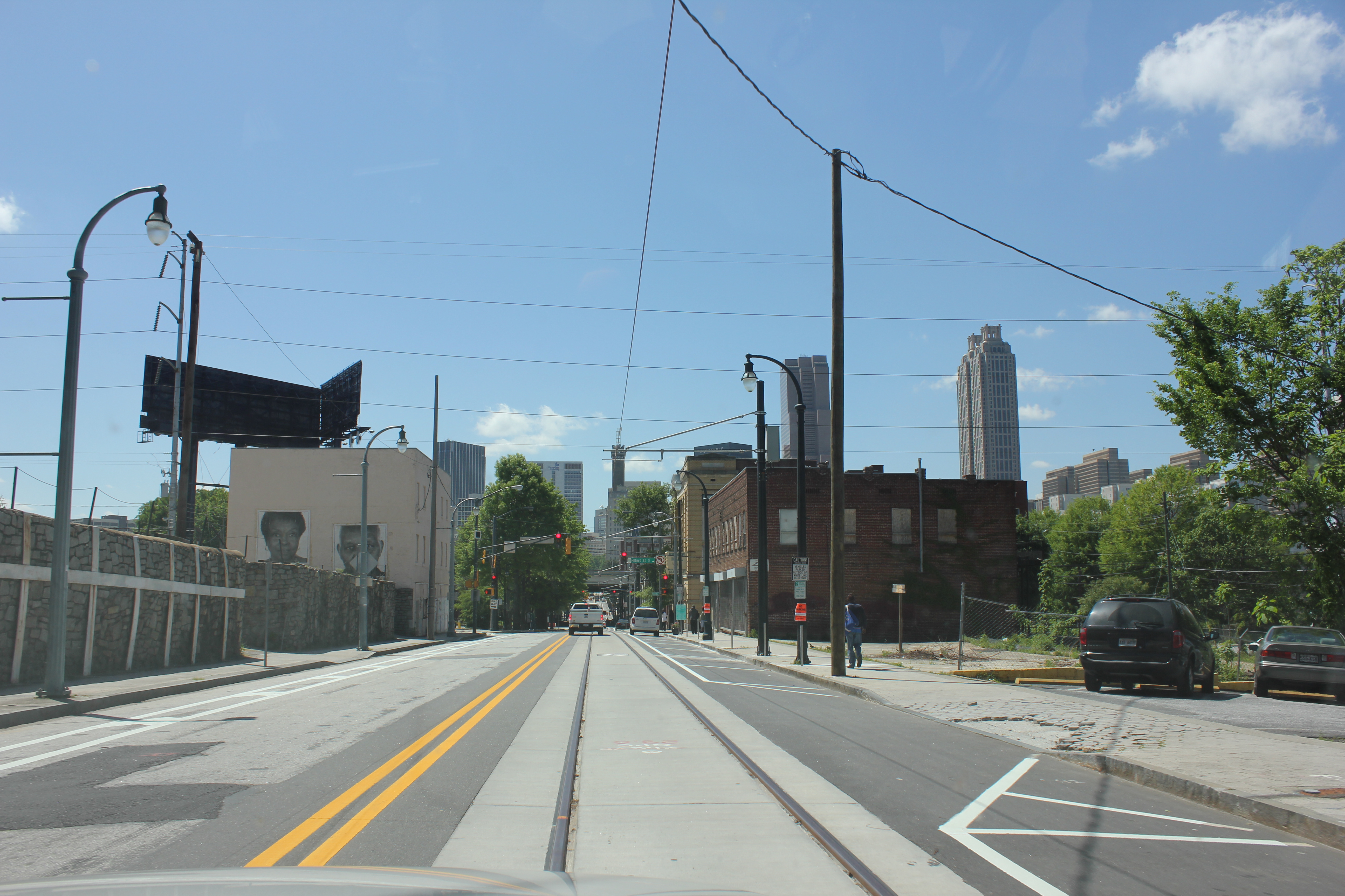
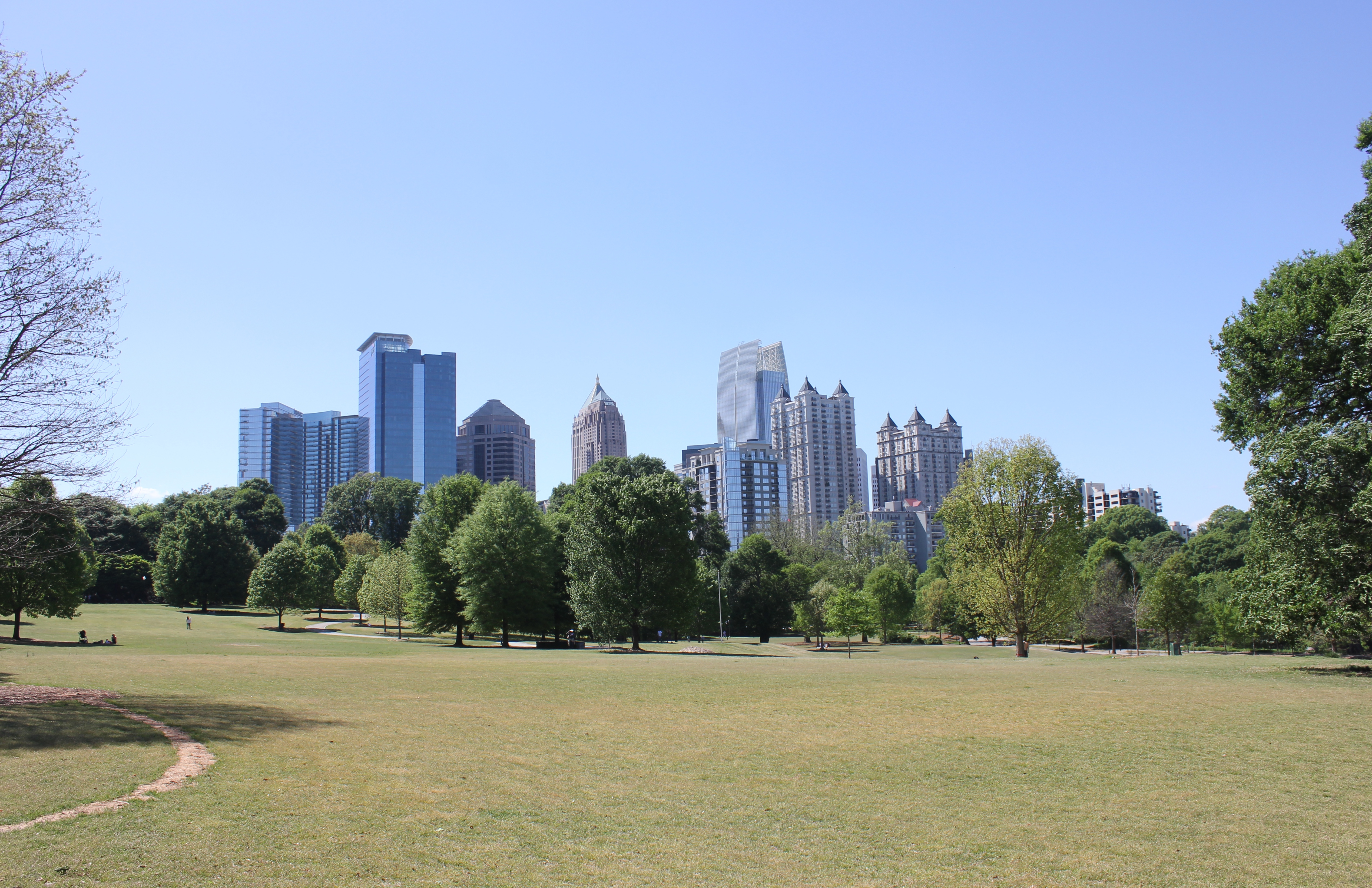
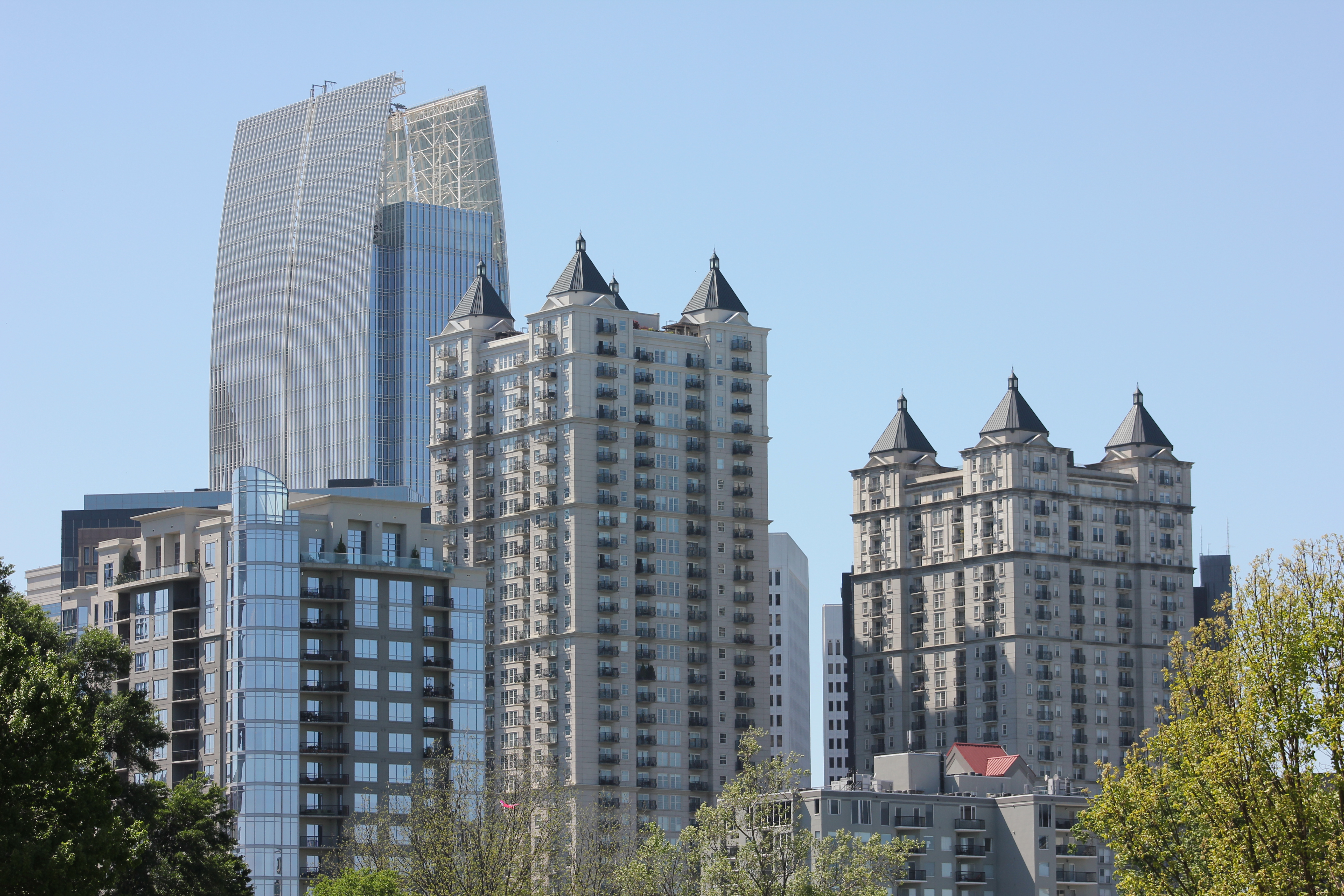
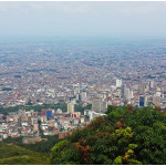
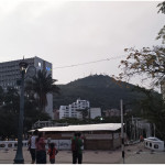
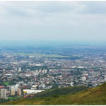
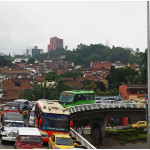
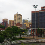
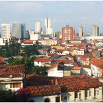
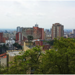
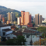
Surrounded by mountains on one side, Cali’s skyline is more impressive than that of Medellín, while also seeming more original. Everything in Medellín is new, it seems.

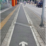
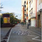
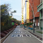
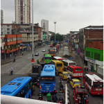
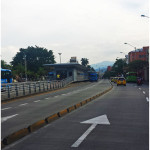
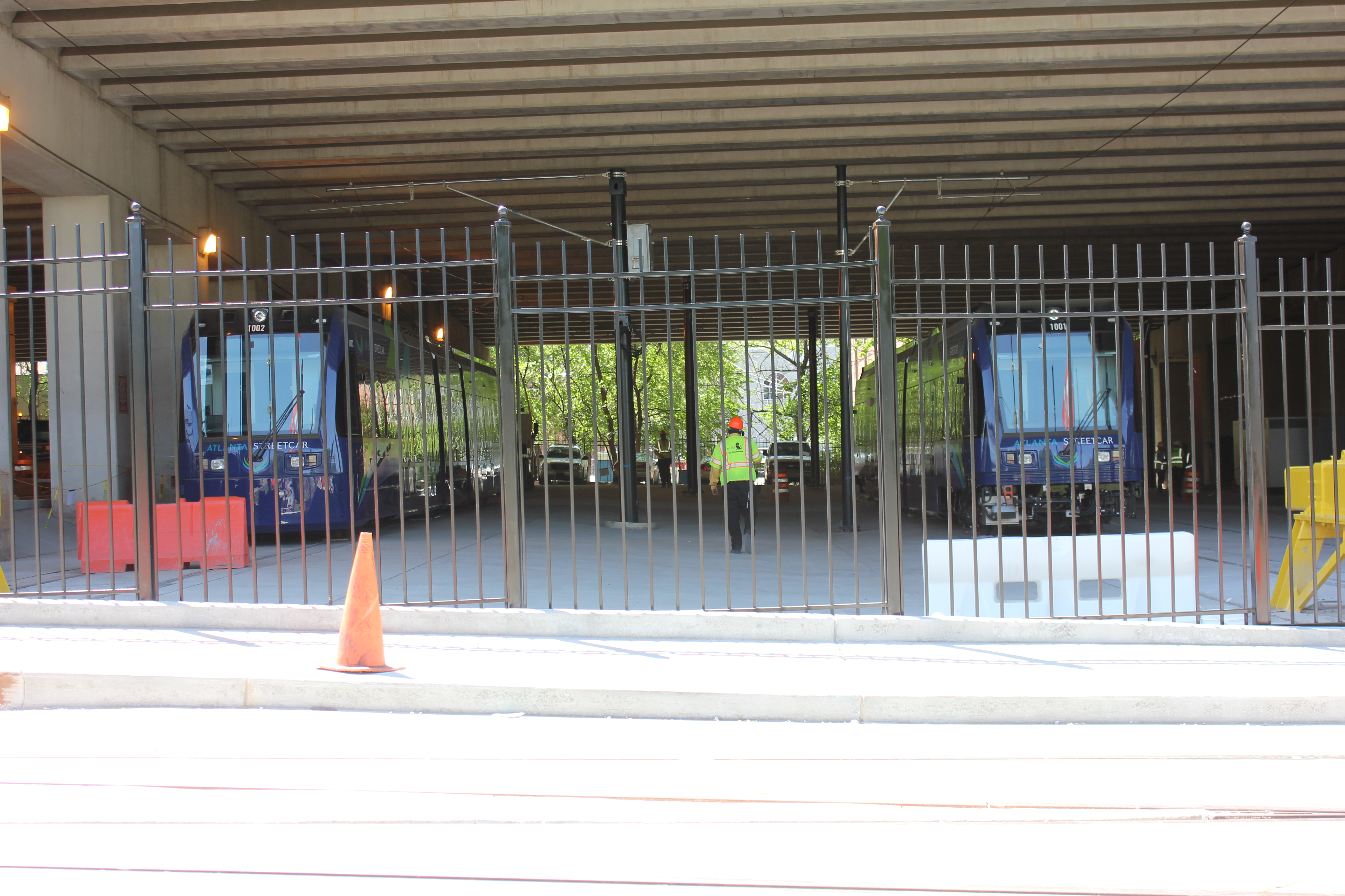
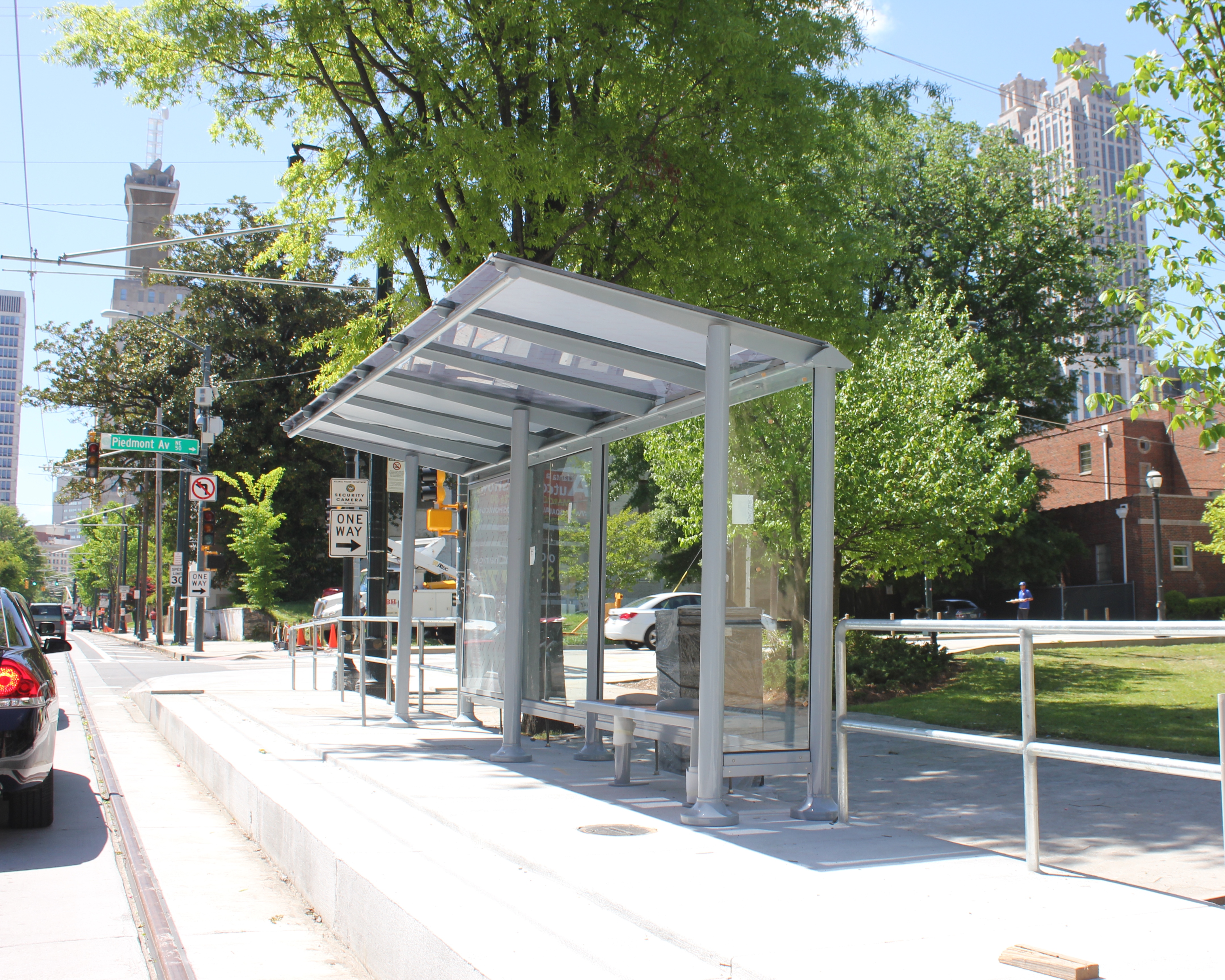
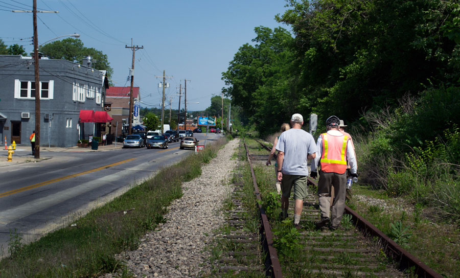
While no rail transportation exists in the city, a large and extensive system of bus rapid transit allows traveling easy. In addition to their bus rapid transit system, Cali also has a system of bike lanes, although no bike share system.

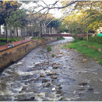
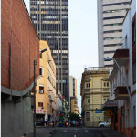
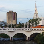
They have impressive grand boulevards and arterials all throughout the city as well as grade-separated highways more impressive than those I saw in Medellín. In the downtown area, the city capped over a highway running along the river and made it a pedestrian and bus-only boulevard, following the river on the left and providing easy access to the center city and many historical buildings.

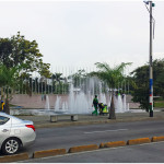
For a city with a reputation as being dangerous, it was incredibly efficient and had an impressive number of assets, including an incredible park system affording many breathtaking views of downtown Cali and the city sprawled out around it.

In the first official episode of The UrbanCincy Podcast, we were joined by Natalia Gomez Rojas, a city planner from Bogotá, to discuss Colombia’s pursuit and implementation of bus rapid transit. The discussion also touched on a number of societal issues facing Colombia’s cities as they continue to develop and evolve in a post-drug cartel era. You can subscribe to The UrbanCincy Podcast on iTunes for free. You can also read more of our coverage regarding bus rapid transit here.

This two-part photo series on Colombia’s second and third largest cities was put together during a four-month assignment by Jacob Fessler, during which he was based out of the city of Barranquilla.

Categories
Development News

OKI Looking for Additional Feedback About How Region Should Grow

The Ohio, Kentucky, Indiana Regional Council of Governments (OKI) is looking for more feedback for its ongoing update of their Strategic Regional Policy Plan.

Once complete, the plan will include 32 strategic policy recommendations for the Cincinnati region in the areas of housing, transportation, land use, public facilities and services, natural systems and economic development.

The original plan was completed in 2005 but due to an evolving context in the wake of the Great Recession, and in the midst of significant demographic changes, the organization is updating the document.

OKI officials say that the planning process will address the same four questions as the original 2005 Plan: Where are we as a region? Where are we going given current trends? Where do we want to go? How do we get there?

Specifically, the core and supplemental questions are looking to see where the 2.2-million-person region stands in terms of its preferences for various transportation, land use and economic development policies.

OKI, the region’s federally mandated metropolitan planning organization, has revised the 32 policy recommendations over the last year-and-a-half; and a draft is now ready for public viewing and comment.

It is hoped that the sleek, attractive and user-friendly website can be easily navigated by anyone interested in giving feedback. OKI is also utilizing a variety of social media tools to bolster participation, including several videos that have been uploaded to YouTube to help disseminate information and inspire people to get involved.

“We are focusing on presenting information in a more accessible way through the website,” said OKI planner Thomas DiBello, “People will be able to review the information whether they are at their computer or on a smartphone.”

This viewing format contrasts traditional multi-page documents that are increasingly being seen as dated ways to engage with a more tech-savvy public.. The website is interactive and input can be given with a series of clicks through short questionnaires.

The change in approach comes after OKI had an initial public input campaign with more than 2,400 individuals responding in the fall of 2012. The online format proved successful beyond the organization’s expectation, and will now be the vehicle for encouraging people to take a look at the draft and express their opinions as they move into the finalization of the plan in coming months.

In addition to standard questions, the online portal where those giving their feedback can also share their thoughts in more open-ended comments.

OKI officials say the comment period will remain open through the end of June. You can view the plan and give input through the How Do We Grow websiteThose who prefer to read through the material on paper can do so by downloading the information from the website as well.

Categories
News Opinion

APA14: Atlanta and Its Evolving Relationship with Urbanism

A few weeks ago I journeyed seven-plus hours by car from Cincinnati to Atlanta for the American Planning Association’s (APA) national conference. The five-day conference was held in the Georgia World Congress Center in the core of Atlanta between downtown and Vine City.

This was my first trip to Atlanta since passing through the city in the early 1990’s.

For an urbanist, the city of Atlanta at first glance is a conundrum. Subway stations that seem to feed park and rides, buildings that barely front the street and streets with no crosswalks where pedestrians play a dangerous game of Frogger just to cross to the other side are all typical occurrences in the city.

However the city is all of these things and more. Atlanta boasts beautiful and funky neighborhoods such as Poncey Highlands, Little Five Points and Castleberry Hill. Beautiful parks such as Inman Park and the Frederick Law Olmsted-designed Piedmont Park.

The BeltLine, a multi-modal transportation corridor we reported on last week, has sparked development along its route and spurred pedestrian and bicycle connectivity between many of Atlanta’s intown neighborhoods.

During the conference I also had a chance to view the Atlanta Streetcar, which could begin operating later this year. Planners in Atlanta have tucked the streetcar’s maintenance facility under a highway viaduct. This is where the streetcars that have already arrived are now being stored.

As you might expect, social divisions by income were evident. I had a chance to explore some of Vine City, which is located just west of where the conference was held and was also home to Martin Luther King Jr. This neighborhood has given way to abandonment and decay. Empty lots, run down houses and discarded vehicles littered the streets.

At the conference, one particular session focused on the redevelopment of Vine City and the adjacent English Avenue. During that session, neighborhood leaders and proponents of the redevelopment plan were questioned vigorously by a representative from a community group that is active in those neighborhoods. The challenges reminded me of the not-so-distant past for Over-the-Rhine and other Cincinnati neighborhoods, such as the West End or Avondale, that are still struggling to rebuild what they have lost over the years.

On the last day of the conference, the APA announced that they had completed a survey which found that both Millennials and Baby Boomers prefer to live in urban settings where there are plenty of transportation options and walkable neighborhoods.

“If there is a single message from this poll, it’s that place matters,” stated APA’s executive director, Paul Farmer, in a prepared release. “Community characteristics like affordability, transportation choices, safe streets, high-speed internet and housing that can accommodate others or enable you to live there as you grow older matter as much as job opportunities.”

It seemed odd that the APA would choose to release this information while hosting a conference in an infamously automobile reliant city; but, while Atlanta is a city that is still overrun by the automobile it is showing signs that communities, residents and activists are coming together to push for neighborhood connectivity and pedestrian improvements.

Even though my initial impression was that the city serves as a dystopian future for urbanism where pedestrians are marginalized in urbanized places, after learning more about the city at the conference, it is encouraging to see that old mentality is changing.

Categories
Up To Speed

You can thank Congress for all those tolls that will soon hit the Cincinnati region

You can thank Congress for all those tolls that will soon hit the Cincinnati region.

This should be a wake-up call for not just the lawmakers who have failed to raise the gas tax since 1993 or peg it to inflation, but also every voter. Locally we hear constantly from the group opposed to the use of tolls to pay for the Brent Spence Bridge or I-75 reconstruction, but the Highway Trust Fund has been bankrupt for many years and surviving on bailouts from Congress year-after-year.

Yes, of course it’s far past time to raise the artificially low gas tax, but it is also time to change the way in which we collect funds to maintain our system and add to its capacity. Instead of a simple tax on gasoline consumption, we should move to a tax that charges people based on how much they use our roadways, not how much they consume gasoline. More from The Hill:

The Department of Transportation (DOT) on Tuesday moved up its projected bankruptcy date for the trust fund that is used to pay for road and transit projects, saying it will now run dry by the end of August. The DOT has warned that the transportation funding shortfall could force state and local governments to cancel infrastructure projects scheduled to begin this summer because federal money will not be able to assist with construction costs.

The Highway Trust Fund is normally filled by revenue collected by the 18.4 cents-per-gallon federal gas tax. The gas tax has not be increased since 1993 and infrastructure expenses have outpaced receipts by about $20 billion in recent years as Americans drive less frequently and cars become more fuel efficient. The Congressional Budget Office has projected that lawmakers will have to authorize $100 billion in new spending in addition to the $34 billion that is expected to brought in annually by the gas tax to approve a new six-year transportation bill, which is the length being sought by infrastructure advocates.

Categories
Development News Transportation

UrbanCincy, Niehoff Studio to Host Regional Discussion on Wasson Corridor

In May 2013, UrbanCincy partnered with the Niehoff Urban Studio to produce an event that highlighted the final work of engineering and urban planning students studying bus rapid transit and bikeways throughout the region. We then showcased their work and engaged the capacity crowd with a panel discussion between some of the region’s foremost experts on the subjects.

One of the hot topics at that event was the Wasson Corridor, which runs through the heart of Cincinnati’s eastern neighborhoods.

The Future of the Wasson Way Bike Trail and Light Rail Corridor

The corridor has long been in regional transit plans as the location for a light rail line, but recent advocacy efforts have been working to convert the abandoned freight rail right-of-way into a recreational trail for bicyclists and pedestrians.

Following UrbanCincy’s controversial editorial opposing the corridor’s conversion into a bike/ped trail, the conversation has shifted to one focused on creating a multi-modal corridor that accommodates the long-planned light rail and the newly envisioned recreational trail.

The next stage of that dialogue will occur this Thursday back at the Niehoff’s Community Design Center in Corryville.

Over the past semester, interdisciplinary students from the University of Cincinnati have been studying the Wasson Corridor and will be presenting their work at this event.

Following the open house where guests can view the final projects, UrbanCincy will then host a panel discussion with Michael Moore, Director of Cincinnati’s Department of Transportation & Engineering (DOTE); Eric Oberg, Manager of the Midwest Rails to Trails Conservancy; Mel McVay, Senior Planner at Cincinnati DOTE; Nern Ostendorf, Executive Director of Queen City Bike. The discussion will be moderated by UrbanCincy’s Jake Mecklenborg.

The event is free and open to the public. The open house portion of the evening will take place from 5pm to 6pm, and the panel discussion will follow immediately at 6pm and go until about 7:30pm.

Light food and refreshments will be provided and a cash bar will be available during the open house. The Niehoff’s Community Design Center can be accessed directly off of Short Vine at the southeast corner of Daniels and Vine Street.