Categories
Up To Speed

What is the future of cities where driverless cars rule?

What is the future of cities where driverless cars rule?.

I met Jonathan Geeting in Salt Lake City during the Congress for the New Urbanism annual conference. We were roommates during which we both participated in a training session led by Streetsblog, for which UrbanCincy is a long-time partner, and studied the city’s transportation while also taking part in the conference. During that conference Jon also filed daily reports for Next City, and has become an increasingly popular writer there.

Jon’s latest piece, which is quite excellent, is this week’s feature story, and it examines what a not-so-distant world might be like for cities when driverless cars are the norm. What might it mean for jobs, parking supply, sprawl or mobility, and when might it all come to fruition? Some of the possibilities may surprise you. More from Next City:

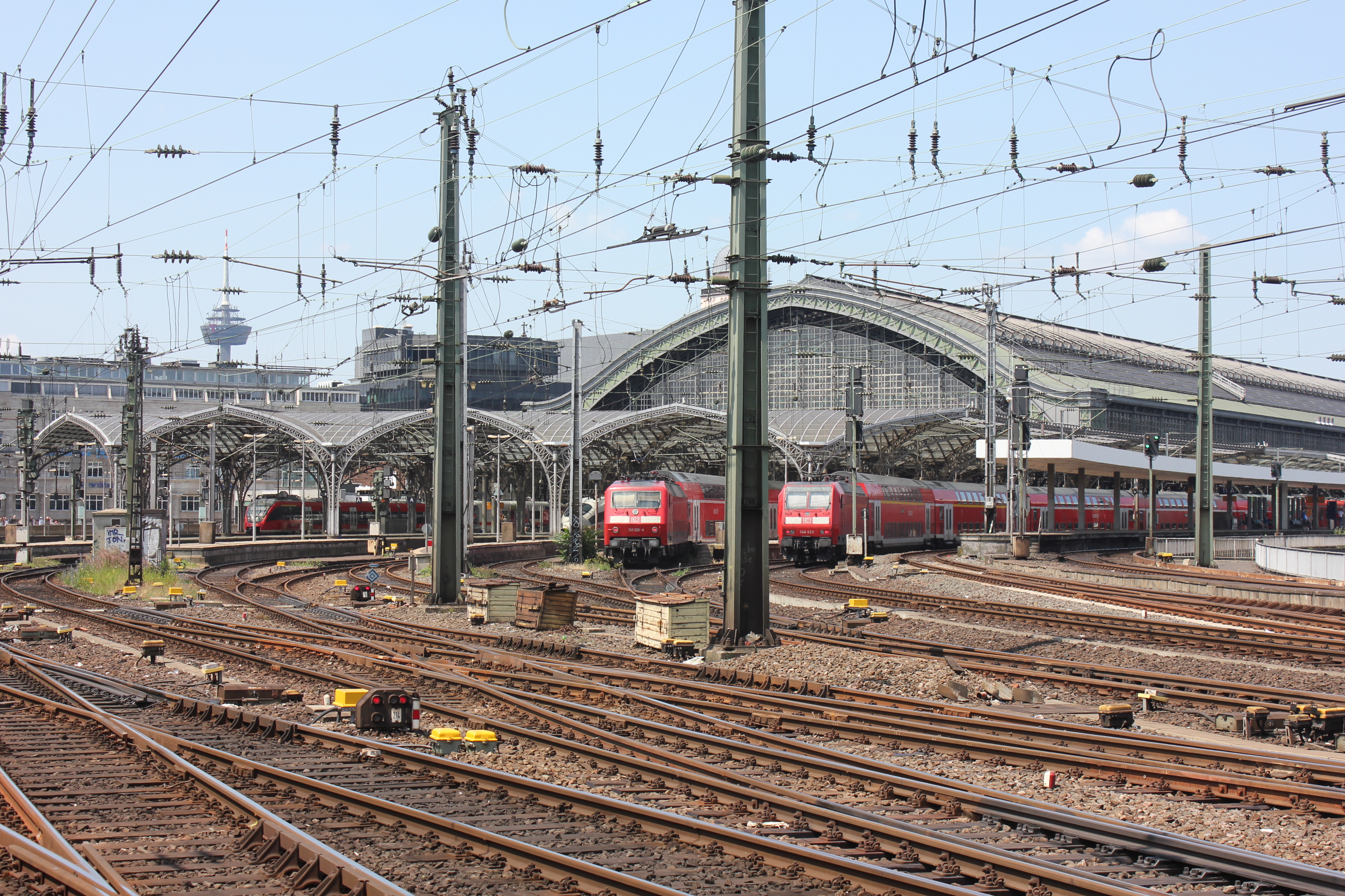
The driverless, or more accurately, self-driving car is widely predicted to revolutionize mobility by knocking humans out of the driver’s seat as soon as 2030. The technology offers the possibility of infinitely safer travel. Human error — a mistimed turn, a heavy foot on the gas pedal or any one of countless other driver mishaps — caused or contributed to more than 90 percent of car collisions, according to a landmark study done by Indiana University. With automated acceleration, braking technologies and crash-avoidance technology, driverless cars could make highways exponentially less deadly.

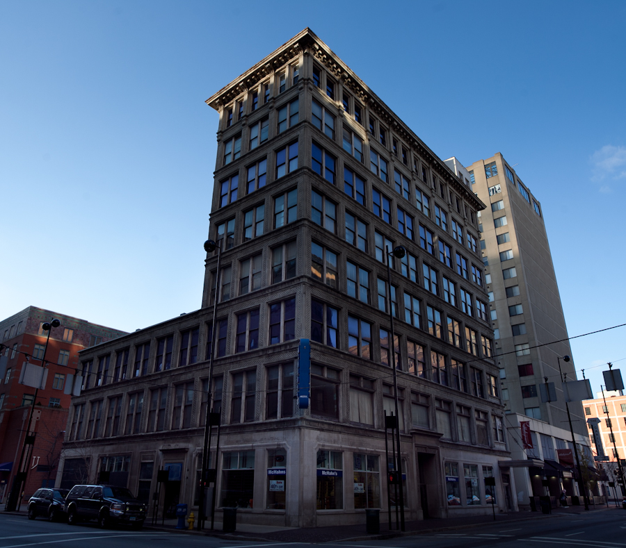
Yet there is another opportunity at stake: The chance to dramatically reshape the relationship between public space and the car. For the last 100 years, urban planners have designed cities to accommodate personal vehicles. Every home comes with a driveway or curb for your car. Asphalt seas of parking spaces or costly multistory garages surround schools, shops and office buildings like carbon-spewing moats. What if instead of driving our own cars, we relied on 21st-century carpools — sharable autonomous vehicles?

Categories
Arts & Entertainment News Transportation

PHOTOS: Riding the Rails in Europe

Last summer I visited several cities in Europe and photographed a few of the scenes going on across the pond. My travels took me to Brussels and Oostende in Belgium; Cologne, Germany; and to London, Cardiff and Brighton Beach in the United Kingdom. The photo set below is premised on several observations:

Quality of  city transportation: Brussels has the cleanest trams of the whole trip. These trams are Bombardier 4000 series trams delivered to the city in 2010. The seating is very comfortable, the trams feature LCD screens and wood panel finishes. Trams running underground featured the traditional turnstile system found in many other underground systems.

Cologne’s trams are older and feature on-board payment systems both above and below ground. Their system consists of two joined rail cars. In some instances such as around Neumarkt Square also use the same transit right-of-ways reserved for trains.

London’s Tube system is the largest subway system in the world. However the city also features an aerial tram known as the United Emirates Line. The tram runs continuously, unlike a similar system in Portland, Oregon, and connects London’s former Olympic Village to the O2 Centre.

Cardiff also featured rail transit, however the system was antiquated and utilize heavy diesel trains that were sometimes as small as a single rail car.

Bicycle Infrastructure: Bicycle share was available in many of the cities I visited including Brussels and London. In Cologne bicycle lanes were placed on the road side of sidewalks and were delineated with either special paint or pavers in some areas. There were similar observations in Cardiff.

Placemaking: From the Dom in Cologne to Grote Markt in Brussels, Europe is filled with beautiful community gathering spots.

Enjoy the photos!

Categories
Business Development News

PHOTOS: Thousands of New Residential Units to Transform Downtown

Downtown Cincinnati is experiencing a new wave of development, with new office space at the Dunnhumby Centre, two new hotels in the historic Enquirer Building, the new Mabley Place in the former Tower Place Mall, and several other projects. But at UrbanCincy, we are most excited about the large number of new residences.

With more residents, the urban core will be able to support more essential neighborhood businesses—such as grocery stores, dry cleaners, and affordable restaurants—that are necessary for the long-term stability of the Central Business District and Over-the-Rhine neighborhoods.

Editor’s Note: Check out our updated photos of these construction projects, taken in July 2014.

If all of the announced projects go according to plan, around 1,500 new units of housing will be added over the next two to three years, and each individual project will offer something unique. There will be a mix of apartments and condos; one-bedroom and two-bedroom units; affordable and luxury price points; historic renovations and new construction.

Most recently, the Cincinnati Center City Development Corporation (3CDC) announced a new development at 15th and Race that will include 57 new residential units and retail space; the exact mix of condos and apartments has not yet been announced. 3CDC is also proceeding with the three-phase Mercer Commons development, which will include a grand total of 126 apartments and 28 condos.

Other projects moving forward include:

  • The new tower at Fourth and Race will contain 300 luxury apartments and a 15,000 square foot grocery store. Developer Flaherty & Collins will begin demolition of the site’s existing parking garage, often called Pogue’s Garage, in the first half of 2014.
  • Phase two of The Banks is expected to finally break ground in 2013 2014, adding 305 new apartments and 21,000 square feet of retail space.
  • Developers of the Fountain Place retail building want to add 180 to 225 residential units above the existing Macy’s department store.
  • AT580, formerly known as the 580 Building, is being converted from office space into 179 apartments. The existing retail spaces on the first and second floors will remain.
  • A new tower above the Seventh and Broadway Garage will feature 110 high-end apartments. The target demographic for these units will be empty-nesters and older professionals looking for downtown living, according to Rick Kimbler, partner at the NorthPointe Group.
  • Three buildings on Seventh Street, which have been purchased by Peak Property Group, will be converted into 75 apartments and 15,000 square feet of retail space.
  • Broadway Square, a $26 million development in Pendleton, will feature 39 apartments and 40,000 square feet of retail space in first phase. Developer Model Group will add at least another 39 apartments in the second phase of the project.
  • The Ingalls Building will be redeveloped into 40 to 50 condos and ground-floor retail space by the Claremont Group.
  • The Schwartz Building, formerly vacant office space, will be converted into 20 apartments. Developer Levine Properties cited the building’s location along the Cincinnati Streetcar route as a driving factor for the renovation.

All photographs by Jake Mecklenborg for UrbanCincy.

Categories
Development News

Cincinnati Leaders Approve City’s Third Form-Based Code in Walnut Hills

Last week Cincinnati City Council approved the form-based code for Walnut Hills. The unanimous vote marks the third neighborhood to adopt this new regulatory tool for neighborhood redevelopment. Yet even after several years of development, many do not understand the basics about the new land use planning tool.

First of all, a form-based code is type of regulation that is developed by community stakeholders to guide future development or redevelopment of a community. Under a form-based code, new developments are typically configured to mesh with the character of the community’s vision.

Form-based codes get their name because it creates a type of regulation that typically focuses more on the form of the building and its relation to the public realm (i.e. the street) rather than the usage of the building. Development under the code occurs “by-right” and means if a new development complies with all the code’s provisions it can be built without having to go through the extensive and sometimes drawn-out process of traditional development.

Over 700 American cities have adopted some type of a form-based code, with Miami being the largest city to completely adopt this type of code. Near by they have been used in Nashville and Columbus to spark development in revitalizing areas of their inner cities.

Former Vice Mayor Roxanne Qualls (D) championed this movement locally and actually led groups of local officials and business leaders to Nashville to study the results of their form-based codes in 2008 and 2012.

While some cities have used these tools to encourage pedestrian friendly, mixed-use developments where none exist, older more established cities such as Cincinnati have opted to implement them in order to ensure that new development integrates seamlessly into the historic charm and character of the city.

Bellevue, KY became the first municipality in the Cincinnati region to adopt this type of regulation in 2011.

Cincinnati first began pursuing the idea of developing a form-based code in 2009. After receiving funding through the U.S. Department of Housing and Urban Development, city staff selected Opticos to lead in developing the new code. Dan Parolek, principal of Opticos, wrote the book on form-based codes, quite literally.

After conducting a city-wide charrette in May 2012, the City of Cincinnati worked with Opticos to refine the code and prepare it for adoption. The form-based code was adopted in early 2013. From there staff from the city’s planning department worked closely with neighborhoods to craft the regulating plan map.

Four neighborhoods were included in the initial implementation schedule: Madisonville, College Hill, Westwood and Walnut Hills. Both Madisonville and College Hill have fully adopted the code with Walnut Hills being the latest. Westwood appears to be the next neighborhood poised to adopt the code after winning unanimous support from the city’s Planning Commission in December 2013.

Categories
Business Development News

VIDEO: New Playground to Open at Smale Riverfront Park in May

Despite all the recent bad weather, work has been progressing on the 45-acre Smale Riverfront Park. The latest phase of construction activity has moved to the west side toward Paul Brown Stadium, and is now becoming visually identifiable.

The next part of the park that will open to the public is the Heekin/PNC Grow Up Great Adventure Playground, which is scheduled to be completed this May.

“The newest feature to be completed is a serpentine wall that’s along the east edge of the playground,” Smale Riverfront Park project manager Dave Prather explained the eight-minute video update. “The way its sculpted entices challenges and encourages folks to do a balance beam walking and being challenged by the narrowness and the way it serpentines its way south toward a toddler-sized slide that is en route and will be installed in the coming months.”

Meanwhile, a series of columns, approximately 75% complete, are now jutting up from the ground at Carol Ann’s Carousel and the Anderson Pavilion.

The glass-enclosed carousel will sit on the upper level of the site that will be flanked by the historic Roebling Suspension Bridge and the Vine Street Fountain & Steps. Cincinnati Park Board officials say that the Vine Street design will mirror that of the currently completed Walnut Street Fountain & Steps.

The Anderson Pavilion will include an event and conference center fronting onto the rebuilt Mehring Way and will sit directly beneath the carousel. Both the carousel and pavilion space are scheduled to open in spring 2015.

Prather goes on in great detail about the various construction activities, taking place now, and lays out what construction work will be taking place in the months ahead.

“There’s going to be a lot happening in the next six weeks or so.”